Enable Location

We need your location to show you interesting places around you

Discover nearby places

Find interesting locations and hidden gems around you

Precise directions

Get accurate directions and distances to places

Your location is never shared with other users. It's only used when you tap the location button.

Log in to your account

Start exploring — it's free

Trusted by 61,368 travelers worldwide

Continue with Google
Continue with Apple
or

We will send you a code to connect

By continuing, you accept our Terms and Conditions and our Privacy Policy

Check your inbox

We've sent a pincode in your inbox. Please enter the code below.

Caliper Lake Provincial Park

Caliper Lake Provincial Park, Provincial park in Rainy River District, Canada.

Description

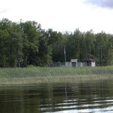
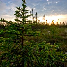
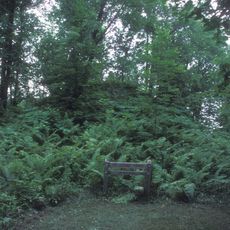
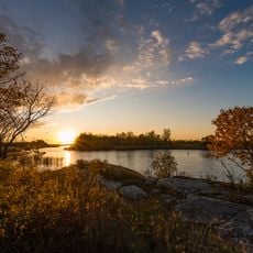
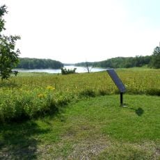
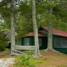
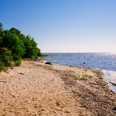
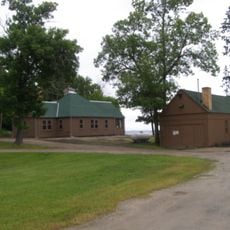
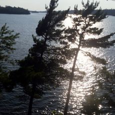
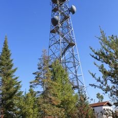
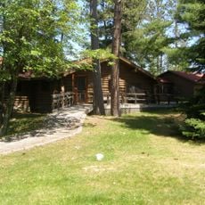
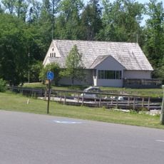
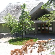
Caliper Lake Provincial Park spreads across approximately 147 hectares along the lake, surrounded by mature red and white pine forests in northwestern Ontario near Nestor Falls. The grounds contain 83 campsites with electrical hookups, a sandy beach, hiking trails, and boat launch facilities for visitors.

History

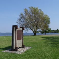
The site was established in 1960 as Caliper Lake Provincial Camp and Picnic Grounds and sits within Treaty 3 Area, which encompasses territories of 28 First Nations. This early establishment reflects growing recognition of the area's role for outdoor recreation.

Culture

The land carries deep meaning for Indigenous communities of the region who continue hunting, trapping, fishing, and gathering practices that define their connection to this place. These activities shape how people move through and use the natural surroundings today.

Practical

The park operates from May through September and offers good conditions for swimming and boating along the sandy shore. Visitors should arrive early, especially on weekends, as spaces fill quickly during peak times.

Did you know?

American white pelicans and bald eagles soar above the water, drawn to the rich aquatic habitat for hunting and feeding. Below the surface, northern pike, walleye, crappie, and smallmouth bass make the waters a draw for anglers.

Inception
1960
GPS coordinates
49.06100,-93.91300
Latest update
December 14, 2025 18:20

AroundUs brings together thousands of curated places, local tips, and hidden gems, enriched daily by 60,000 contributors worldwide. Discover all places nearby (Rainy River District).

Around this place
Voyageurs National Park
United States of America

Voyageurs National Park

98 km
Fort Saint Charles
United States of America

Fort Saint Charles

84.6 km
Fort Frances – International Falls International Bridge
United States of America

Fort Frances – International Falls International Bridge

62.9 km
Big Bog State Recreation Area
United States of America

Big Bog State Recreation Area

106.2 km
Husky the Muskie
Canada

Husky the Muskie

89.6 km
Grand Mound
United States of America

Grand Mound

62.4 km
United States of America

Northwest Angle State Forest

79.8 km
Zippel Bay State Park
United States of America

Zippel Bay State Park

72.6 km
Kay-Nah-Chi-Wah-Nung
Canada

Kay-Nah-Chi-Wah-Nung

47.6 km
Fort Saint Pierre
Canada

Fort Saint Pierre

63.8 km
Kabetogama State Forest
United States of America

Kabetogama State Forest

94.5 km
Franz Jevne State Park
United States of America

Franz Jevne State Park

48.2 km
Sioux Narrows Bridge
Canada

Sioux Narrows Bridge

41.5 km
Baudette – Rainy River International Bridge
Canada

Baudette – Rainy River International Bridge

62.5 km
Jun Fujita Cabin
United States of America

Jun Fujita Cabin

95.3 km
Birch Point Provincial Park
Canada

Birch Point Provincial Park

96.9 km
Finstad's Auto Marine Shop
United States of America

Finstad's Auto Marine Shop

64.6 km
Kabetogama Ranger Station District
United States of America

Kabetogama Ranger Station District

94.4 km
Koochiching County Courthouse
United States of America

Koochiching County Courthouse

63.1 km
Gold Mine Sites
United States of America

Gold Mine Sites

74.7 km
Sioux Narrows Provincial Park
Canada

Sioux Narrows Provincial Park

41.6 km
Old Post Office Building
Canada

Old Post Office Building

89.1 km
Kabetogama Lookout Tower
United States of America

Kabetogama Lookout Tower

102.9 km
Ash River Visitor Center
United States of America

Ash River Visitor Center

104.5 km
Kabetogama Lake Visitor Center
United States of America

Kabetogama Lake Visitor Center

94.3 km
Rainy Lake Visitor Center
United States of America

Rainy Lake Visitor Center

76.5 km
Faunce Lookout Tower
United States of America

Faunce Lookout Tower

92.3 km
Black Bay Lookout Tower
United States of America

Black Bay Lookout Tower

74.7 km
Show the full map
« Caliper Lake Provincial Park - Provincial park in Rainy River District, Canada » is provided by Around Us (aroundus.com). Images and texts are derived from Wikimedia project under a Creative Commons license. You are allowed to copy, distribute, and modify copies of this page, under the conditions set by the license, as long as this note is clearly visible.

Discover hidden gems everywhere you go!

From secret cafés to breathtaking viewpoints, skip the crowded tourist spots and find places that match your style. Our app makes it easy with voice search, smart filtering, route optimization, and insider tips from travelers worldwide. Download now for the complete mobile experience.

Around Us App Screenshot

A unique approach to discovering new places

Le Figaro

All the places worth exploring

France Info

A tailor-made excursion in just a few clicks

20 Minutes

Around Us
Travel Guide & Maps
Download

Send to your phone

QR Code
1

Open the camera app on your mobile.

2

Point at the QR code with your camera. A notification will appear.

3

Tap the notification to open the link.