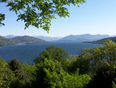
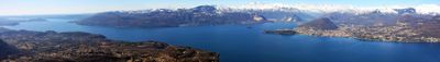
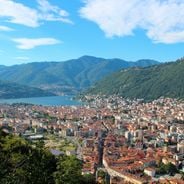
Lake Maggiore, Alpine lake between Ticino, Switzerland and Piedmont, Italy
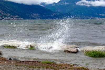
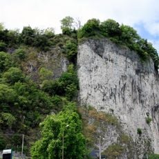
This Alpine water body stretches about 64 kilometers (40 miles) from the Swiss canton of Ticino southward into the Italian regions of Piedmont and Lombardy, reaching depths of around 372 meters (1220 feet) near Ghiffa. Its surface sits at roughly 193 meters (633 feet) above sea level, surrounded by forested slopes on the western shore and gentler terrain to the east.
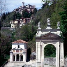
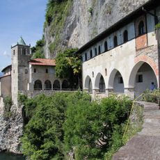
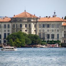
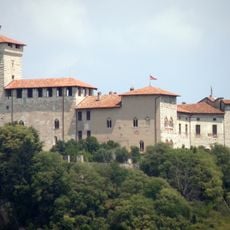
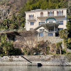
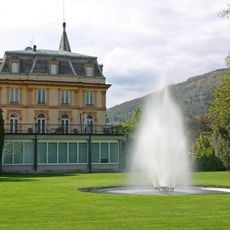
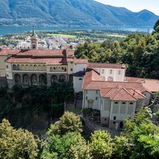
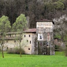
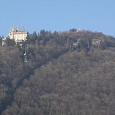
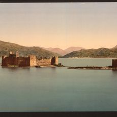
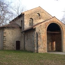
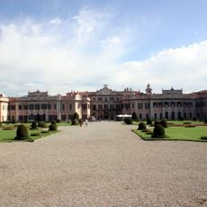
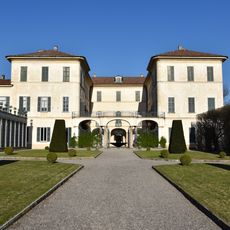
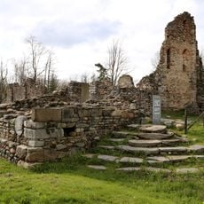
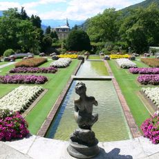
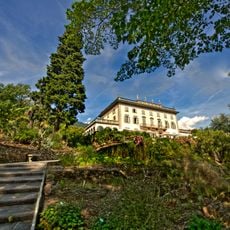
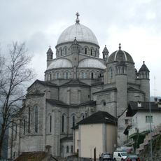
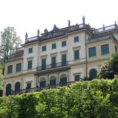
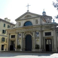
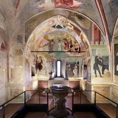
During the medieval period, the shores saw fortified castles and monasteries rise as powerful families competed for control of the trade routes crossing the water. Later, starting in the 18th century, wealthy European families built ornate villas and landscaped gardens that transformed the shoreline into a retreat for travelers seeking milder weather.
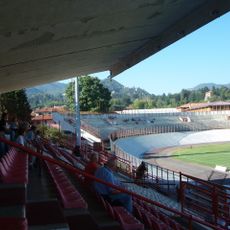
In the towns along the shore, locals gather at cafés and open squares where fishermen sell their catch and families meet for evening walks. You often see people from both countries mingling at waterfront benches, chatting in a mix of Italian and Swiss dialects while children play near the docks.
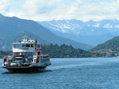
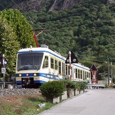
Many hotels in the Swiss part provide guests with a pass that covers buses, trains and ferries throughout the region, making it easy to explore the shoreline without renting a car. The ferry network connects towns on both sides, and schedules run more frequently during the warmer months.
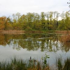
The water creates a pocket of warmth where palm trees, lemon groves and olive orchards thrive next to mountain meadows, a rare blend found in few places across Europe. You can walk through gardens with tropical plants and then look up at snow on the surrounding peaks within the same hour.
The community of curious travelers
AroundUs brings together thousands of curated places, local tips, and hidden gems, enriched daily by 60,000 contributors worldwide.