North China Plain, Large alluvial plain in northern China.
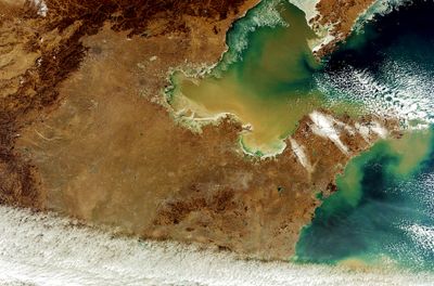
The North China Plain is a low-lying alluvial area in northern China that stretches from the Yanshan and Taihang mountain ranges to the Bohai Sea, covering more than 400,000 square kilometers (about 154,000 square miles). The Yellow River flows through this broad expanse, depositing sediment that creates fertile soils used for growing wheat, corn and cotton.
Dynasties such as the Zhou and the Han built early capitals in this region because the fertile soil supported large populations and made political power possible. The river shifted its course repeatedly across the plain over the centuries, destroying settlements in one area while opening farmland in another.
People have worked the land here for thousands of years, planting wheat and cotton in fields that follow the rhythm of rivers controlled by dams and canals. Many villages cluster around stable water sources, and local names often refer to old irrigation routes that once fed entire communities.
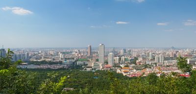
Travelers moving between Beijing and cities to the south often pass through this region by train or highway, seeing flat farmland and scattered villages along the way. The Xiaolangdi Dam near the edge of the plain offers a view of how engineering manages the river's flow to protect communities downstream.
The river runs above the surrounding countryside in some sections because sediment has built up inside its channel over centuries. This raised riverbed forced engineers to construct levees to prevent water from spilling sideways into lower ground.
The community of curious travelers
AroundUs brings together thousands of curated places, local tips, and hidden gems, enriched daily by 60,000 contributors worldwide.