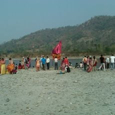
Arun River, Trans-Himalayan river in Sagarmatha Zone and Tibet, China.
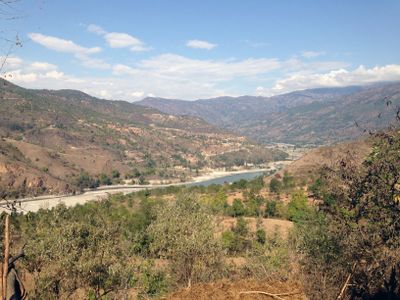
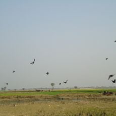
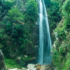
The Arun River is a waterway that flows southward through steep valleys between the Kangchenjunga and Makalu peaks, cutting across the main Himalayan range. The water carves one of the world's deepest gorges, with elevations dropping from 3500 meters to 300 meters and creating a dramatic mountain landscape.
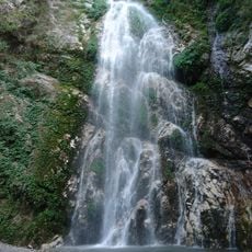
The river formed through geological processes over millions of years as water cut through the Himalayan mountain chain, creating one of the earth's deepest valleys. This continuous water erosion has fundamentally shaped the region's geography and landscape.
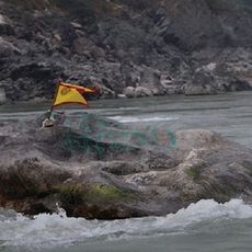
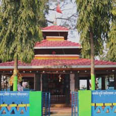
The river is known locally by its Tibetan name Bum-chu, linked to a water ceremony where local priests observe water levels to forecast the year ahead. This practice reflects how the flowing water holds special meaning in the region's cultural traditions.
The main route starts with a flight from Kathmandu to Tumlingtar, followed by overland travel through local villages and down toward the river corridor. Weather and valley conditions vary by season, so plan your visit around the drier months for easier access.
The river covers a substantial portion of the Sapta Kosi basin yet carries surprisingly less water than expected due to rain shadow effects from the surrounding peaks. This makes it a remarkable example of how geography shapes water distribution in mountainous terrain.
The community of curious travelers
AroundUs brings together thousands of curated places, local tips, and hidden gems, enriched daily by 60,000 contributors worldwide.