Kilik Pass, Mountain pass between Gilgit-Baltistan, Pakistan and Taxkorgan Tajik Autonomous County, China
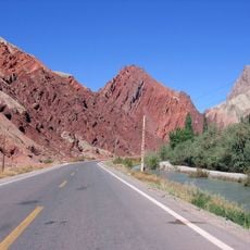
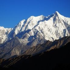
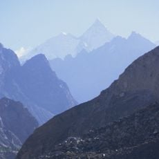
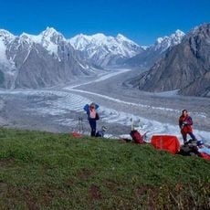
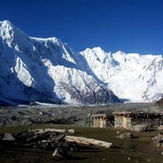
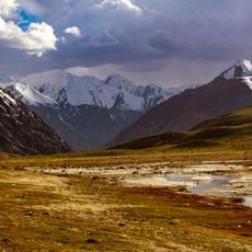
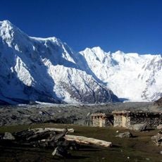
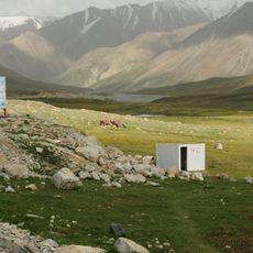
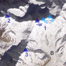
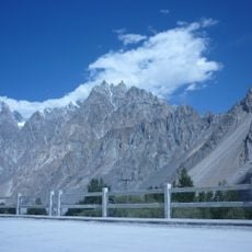
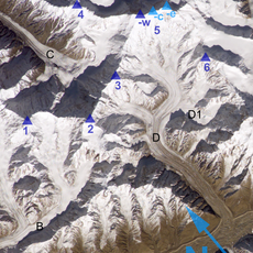
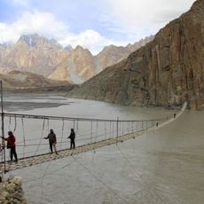
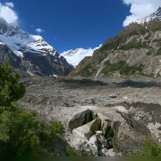
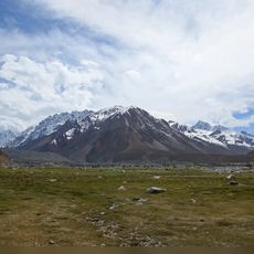
Kilik Pass is a mountain crossing in the Karakoram range that connects Pakistan to China's Xinjiang region, sitting at an elevation of roughly 4,800 meters. The surrounding landscape consists of bare, high-altitude terrain with sparse vegetation typical of major passes in this mountain chain.
In the 1890s, during the Great Game rivalry with Russia, the British set up outposts near Kilik Pass. Surveyors judged the pass easily defensible against a Russian advance, a finding that likely shaped the boundary drawn in this area. The pass later lost its role after the Karakoram Highway was built over the Khunjerab Pass to the south.
The "Sacred Rock of Hunza" near the pass carries petroglyphs of mounted horsemen and ibex, with Kharoshthi inscriptions naming Saka and Pahlava rulers. Historians link these to Maues, who is thought to have crossed by Mintaka or Kilik to take Taxila in the first century BCE. Herders still bring animals to the pass for pasture.
Since the Karakoram Highway was built further south over the Khunjerab Pass, Kilik Pass has fallen out of use. On the Pakistani side, trekking companies in the late 2010s offered tours to the pass; on the Chinese side the whole valley around it is closed to visitors, with access only for local residents and herders. The crossing lies at 4,827 m, so plan for altitude.
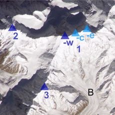
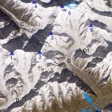
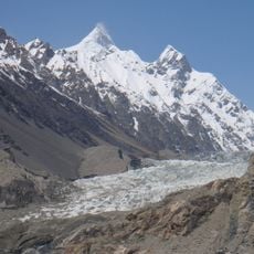
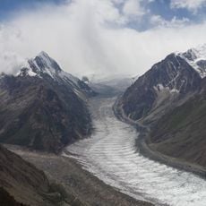
Unlike the nearby Mintaka Pass, this crossing remains free of glaciers, making it a more dependable route for travelers historically. While ice formation gradually made the neighboring pass less passable, this route stayed more accessible over time.
The community of curious travelers
AroundUs brings together thousands of curated places, local tips, and hidden gems, enriched daily by 94,078 contributors worldwide.