Chest opened
+${chestReward.xp} XP
Explorer
NOUVEAU ×${chestReward.collectible.quantity}
tapez pour fermer
Chest locked

Open chests in the app

Around Us is built for your phone — chests unlock when you walk, explore and capture nearby places.

Enable Location

We need your location to show you interesting places around you

Discover nearby places

Find interesting locations and hidden gems around you

Precise directions

Get accurate directions and distances to places

Your location is never shared with other users. It's only used when you tap the location button.

Indira Col

Log in to your account

Start exploring — it's free

Trusted by 72,876 travelers worldwide

Continue with Google
Continue with Apple
or

We will send you a code to connect

By continuing, you accept our Terms and Conditions and our Privacy Policy

Check your inbox

We've sent a pincode in your inbox. Please enter the code below.

Indira Col
Discussion Reviews 1 Photos
32.1k Popularity

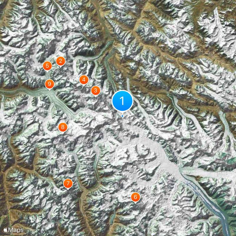
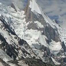
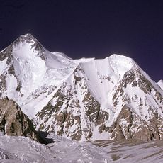
Indira Col, Mountain pass at India-China border.

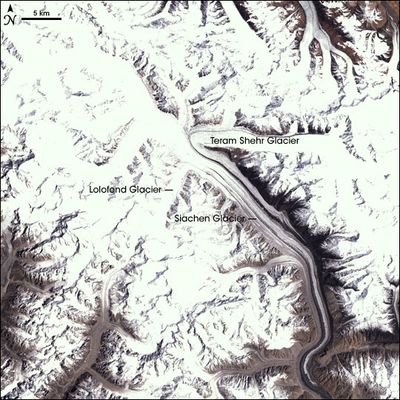
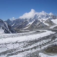
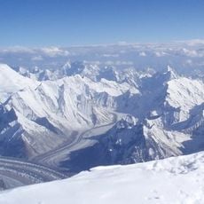
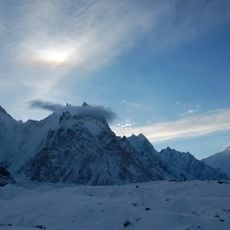
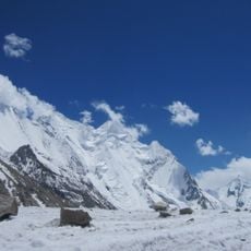
Indira Col consists of two separate passes in the Karakoram range at 5764 meters and 5988 meters in elevation. These passages sit along a natural water divide where different glacier systems flow in opposite directions across the high mountains.

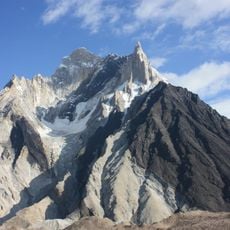
The eastern pass was named in 1912 by explorer Bullock Workman, who chose the name from Hindu tradition. British officer Younghusband had reached the base of these mountains decades earlier in 1889.

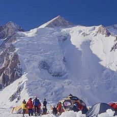
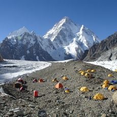
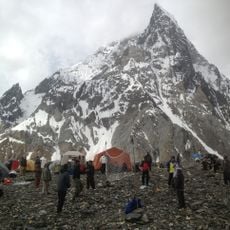
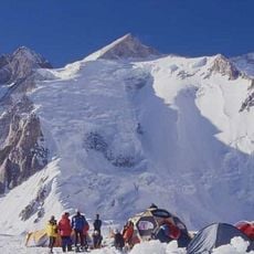
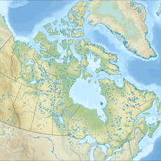
The region near Indira Col maintains military presence from both Indian and Chinese forces due to territorial considerations at high altitudes.

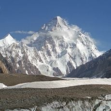
Access to this location requires special permits from military authorities since it sits in a sensitive border zone at high altitude. The terrain and weather conditions in this region are severe, making travel extremely challenging year-round.

The passes mark where two glacier systems flow in opposite directions: the Siachen Glacier extends southward into Indian territory while the Urdok Glacier flows northward into Chinese territory. This natural water divide at extreme altitude creates a clear geological boundary between two different continental drainage basins.

The community of curious travelers

AroundUs brings together thousands of curated places, local tips, and hidden gems, enriched daily by 60,000 contributors worldwide.

Start exploring
Elevation above the sea
5,764 m
GPS coordinates
35.66444,76.79778
Latest update
December 20, 2025 00:46
Reviews
Share your experience

No review yet

Discussions
Start a discussion...

No discussion yet

« Indira Col - Mountain pass at India-China border » is provided by Around Us (aroundus.com). Images and texts are derived from Wikimedia project under a Creative Commons license. You are allowed to copy, distribute, and modify copies of this page, under the conditions set by the license, as long as this note is clearly visible.

Discover hidden gems everywhere you go!

From secret cafés to breathtaking viewpoints, skip the crowded tourist spots and find places that match your style. Our app makes it easy with voice search, smart filtering, route optimization, and insider tips from travelers worldwide. Download now for the complete mobile experience.

Around Us App Screenshot

A unique approach to discovering new places

Le Figaro

All the places worth exploring

France Info

A tailor-made excursion in just a few clicks

20 Minutes

Around Us
Travel Guide & Maps
Download

Send to your phone

QR Code
1

Open the camera app on your mobile.

2

Point at the QR code with your camera. A notification will appear.

3

Tap the notification to open the link.