Enable Location

We need your location to show you interesting places around you

Discover nearby places

Find interesting locations and hidden gems around you

Precise directions

Get accurate directions and distances to places

Your location is never shared with other users. It's only used when you tap the location button.

Yee Wo Street

Log in to your account

Join the adventure

Create your free account and start exploring (like 60k+ others)

We will send you a code to connect

or
Continue with Google
Continue with Apple
By continuing, you accept our Terms and Conditions and our Privacy Policy

Check your inbox

We've sent a pincode in your inbox. Please enter the code below.

Yee Wo Street

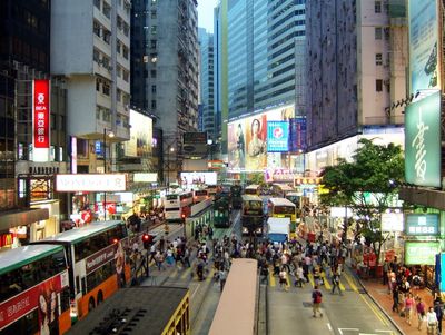
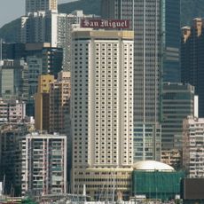
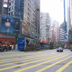
Yee Wo Street, Main thoroughfare in Causeway Bay, Hong Kong.

Description

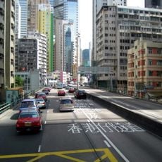
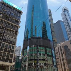
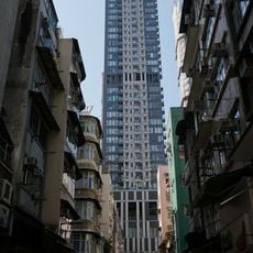
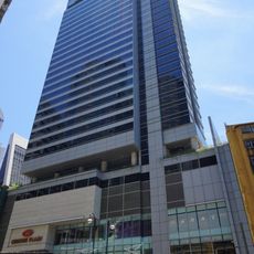
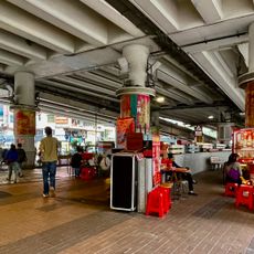
Yee Wo Street is a principal road running approximately 980 feet (300 meters) through Causeway Bay, featuring eastbound and westbound traffic lanes that connect Hennessy Road to Causeway Road and serve as an important transportation corridor for over a million daily pedestrians and numerous tram and bus passengers.

History

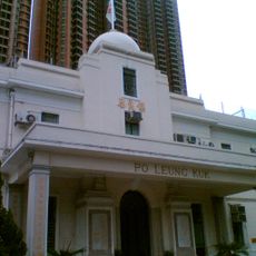
Officially completed on January 1, 1902, Yee Wo Street was developed from a former shoreline path along Causeway Bay's coast before land reclamation, and its name derives from the trading company Jardine, Matheson, which established operations in the region in 1842 and owned much of the surrounding land during early colonial development.

Culture

The street features a distinctive circular footbridge built in 1965 at the junction with Sugar Street and Pennington Street, which has become a recognizable cinematic symbol and serves as a popular viewing platform for observing the surrounding high-rise buildings and active street life below.

Practical

Public transportation along Yee Wo Street includes Hong Kong Tramways services that began operating around 1904, and the street remains easily accessible via numerous bus routes and tram stops, making it a convenient hub for exploring the Causeway Bay shopping and commercial district.

Did you know?

During the Japanese occupation from 1942 to 1945, the street was temporarily renamed Kasuga-dori before reverting to its original name after World War II, reflecting the area's complex history and the resilience of Hong Kong's cultural identity through periods of foreign control and restoration.

Location
GPS coordinates
22.27980,114.18600
Latest update
November 28, 2025 15:19

AroundUs brings together thousands of curated places, local tips, and hidden gems, enriched daily by 60,000 contributors worldwide. Discover all places nearby (Eastern District).

« Yee Wo Street - Main thoroughfare in Causeway Bay, Hong Kong » is provided by Around Us (aroundus.com). Images and texts are derived from Wikimedia project under a Creative Commons license. You are allowed to copy, distribute, and modify copies of this page, under the conditions set by the license, as long as this note is clearly visible.

Discover hidden gems everywhere you go!

From secret cafés to breathtaking viewpoints, skip the crowded tourist spots and find places that match your style. Our app makes it easy with voice search, smart filtering, route optimization, and insider tips from travelers worldwide. Download now for the complete mobile experience.

Around Us App Screenshot

A unique approach to discovering new places

Le Figaro

All the places worth exploring

France Info

A tailor-made excursion in just a few clicks

20 Minutes

Around Us
Travel Guide & Maps
Download

Send to your phone

QR Code
1

Open the camera app on your mobile.

2

Point at the QR code with your camera. A notification will appear.

3

Tap the notification to open the link.