Altstadt-Nord, Historic district in Cologne, Germany
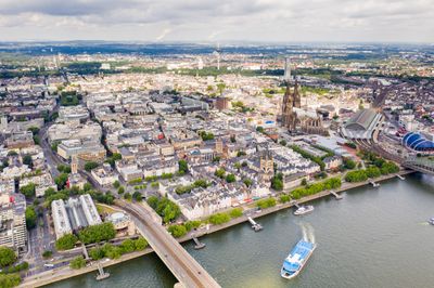
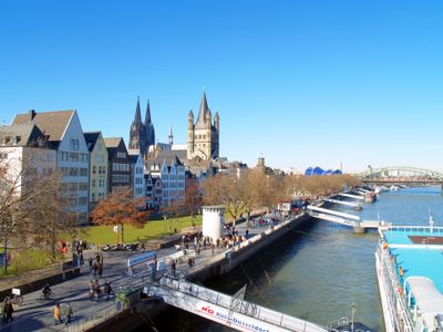
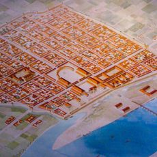
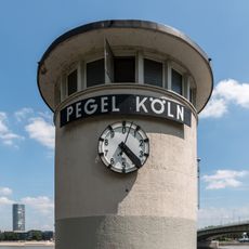
The district extends over 0.95 square miles (2.46 square kilometers) along the Rhine waterfront and encompasses medieval structures alongside contemporary architecture, connected through a network of narrow lanes and broader streets from different periods.
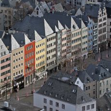
The district was established as an administrative unit in 1975 during the last municipal reorganization, merging portions of the medieval core with Gründerzeit neighborhoods developed during the nineteenth century.
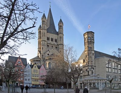
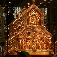
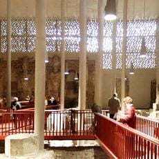
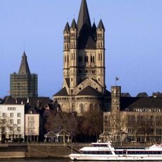
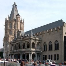
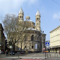
Ten Romanesque churches from various medieval centuries shape the religious landscape and serve today as both houses of worship and venues for concerts and cultural activities within the urban community.
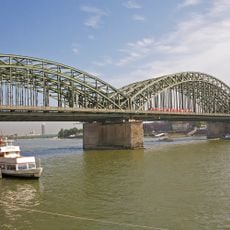
Köln Hauptbahnhof connects the area to regional and international destinations, while several subway and tram lines cover local transport and pedestrian zones throughout facilitate walking exploration.
The population density reaches 7,460 residents per square mile (2,880 per square kilometer), while local breweries produce traditional Kölsch following strict regional regulations that apply only to beers from this metropolitan area.
The community of curious travelers
AroundUs brings together thousands of curated places, local tips, and hidden gems, enriched daily by 60,000 contributors worldwide.