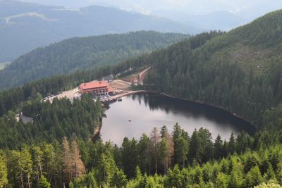
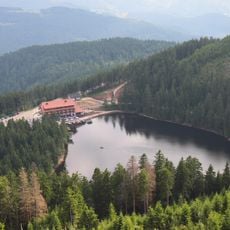
Mummelsee, Cirque lake in Black Forest, Germany
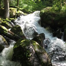
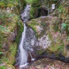
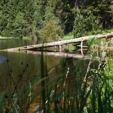
Mummelsee is a mountain lake in the Black Forest that sits in a bowl-shaped depression surrounded by steep slopes. The water stretches about 800 meters around its perimeter and drops to roughly 17 meters at its deepest point.
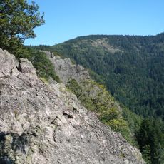
The basin formed during the last ice age when glaciers carved into the rock and then melted away, leaving this hollow behind. It is one of only seven remaining cirque lakes in the Black Forest and represents a rare remnant of that ancient period.
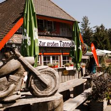
Local stories speak of water spirits and legendary figures living in the lake, and these tales still shape how visitors experience the place today. Artistic depictions around the water keep these old narratives alive and add to what makes this location feel different from other lakes.
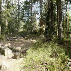
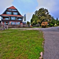
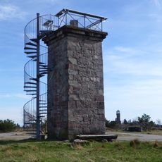
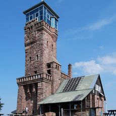
Visitors can rent pedal boats, walk the shoreline paths, or take a bus service up to the Hornisgrinde viewpoint. The best time to visit is from May through October when the trails are clear and facilities are fully available.
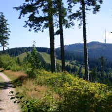
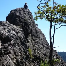
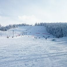
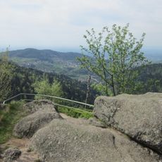
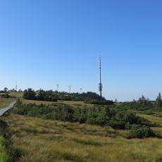
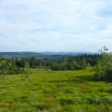
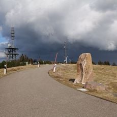
The Hornisgrinde mountain rises steeply from above the lake and dominates the landscape as the highest peak in the Northern Black Forest region. From its summit, the entire lake basin and surrounding ridge system spread out in full view below.
Elevation above the sea: 1,028.5 m
GPS coordinates: 48.59806,8.20083
Latest update: December 14, 2025 20:59
Baden-Württemberg offers a wide range of destinations beyond the usual routes. The region includes medieval castle ruins such as Hohentwiel, Hohenbaden, and Yburg, medieval monasteries like Maulbronn and Alpirsbach, and palaces such as Lichtenstein and Weikersheim. Geological formations shape the...
Hornisgrinde
856 m
Karlsruher Grat
4 km
Schloss Aubach
7.3 km
All Saints' Abbey
6.8 km
Hornisgrinde transmitter
1.4 km
Schliffkopf
7.1 km
Gertelbach-Wasserfälle
6.6 km
Mehliskopf
6.4 km
Burg Neu-Windeck
6.8 km
Edelfrauengrab waterfall
4.9 km
Hoher Ochsenkopf
7 km
Wiedenfelsen
7 km
Ruhestein
4.3 km
Hochkopf
4.2 km
Burg Hoherod
3.8 km
Gottschlägtal - Karlsruher Grat
4.3 km
Unterstmatt
3.5 km
Kunstpfad am Mummelsee
132 m
Hornisgrinde-Biberkessel
1.3 km
Wilder See - Hornisgrinde
1.2 km
Wilder See - Hornisgrinde und Oberes Murgtal
6.9 km
Bismarck Tower (Sasbach)
862 m
Hornisgrinde Tower
384 m
Mehliskopf Tower
6.2 km
Oberes Achertal
4.2 km
Kleine Grinde
1.7 km
Hundsrücken
2.5 km
St. Michaelskapelle
168 mVisited this place? Tap the stars to rate it and share your experience / photos with the community! Try now! You can cancel it anytime.
Discover hidden gems everywhere you go!
From secret cafés to breathtaking viewpoints, skip the crowded tourist spots and find places that match your style. Our app makes it easy with voice search, smart filtering, route optimization, and insider tips from travelers worldwide. Download now for the complete mobile experience.
A unique approach to discovering new places❞
— Le Figaro
All the places worth exploring❞
— France Info
A tailor-made excursion in just a few clicks❞
— 20 Minutes