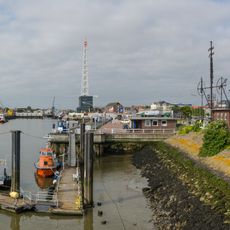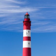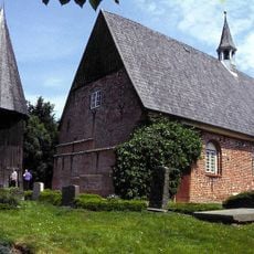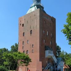
Schleswig-Holstein Wadden Sea National Park, Protected coastal area in northern Germany
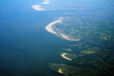
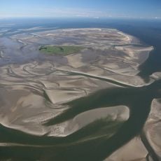
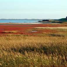
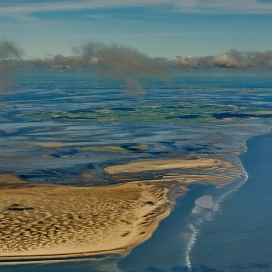
The Schleswig-Holstein Wadden Sea National Park runs from the German-Danish maritime border to the Elbe estuary, covering 4410 km², of which 68% lies permanently under water and 30% falls dry with the tide. In the north, mudflats around the North Frisian islands and Halligen reach 40 km wide; further south lie broad sandbanks, and the land side is mostly salt marsh. Sea dykes, beaches and the inhabited islands are excluded from the park.
Protection efforts began in 1985 and expanded significantly a decade later to create one of Germany's most extensive protected areas. Human settlement in this region has roots stretching back thousands of years, though organized conservation is a recent development.
The communities here have adapted their entire way of life around the sea and its tides, with practices passed down through generations of coastal living. This shapes how homes are built, how people work, and how they mark seasonal changes throughout the year.
Pay attention to weather and tide schedules, as these dramatically affect what you can access and how safe the terrain is. Guided walks and visitor centers are spread across multiple entry points, making it easier to plan a meaningful visit.
The park's protection zone 1 covers 162,000 hectares, about a third of the whole area, and is normally closed to the public; only mudflat walks directly along the coast, guided routes and fishing are allowed. South of the Hindenburgdamm, a 12,500-hectare zero-use area lies off Sylt's landward side.
The community of curious travelers
AroundUs brings together thousands of curated places, local tips, and hidden gems, enriched daily by 94,043 contributors worldwide.