Steinenberg, Mountain summit in Tübingen, Germany
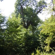
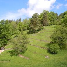
Steinenberg is a mountain summit at the southern edge of Schönbuch that rises 492 meters and features pine forests mixed with scattered fruit meadows on its slopes. The terrain combines forested ridges with open grassland, creating a varied landscape that shifts as you move across the mountain.
In 1859, authorities planted extensive pine forests across the summit and surrounding areas, fundamentally transforming a landscape previously dominated by vineyards. This reforestation reshaped the mountain's character and the region's economic focus.
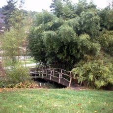
The slopes support scattered fruit meadows, a traditional agricultural form combining fruit trees with grassland that remains central to how locals understand their landscape. This way of farming has shaped regional identity for generations.
Multiple hiking trails reach the summit, ranging from an easy 4-kilometer route to longer 18-kilometer paths for extended mountain walks. Trail conditions vary depending on your chosen route and season, so check local conditions before heading out.
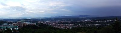
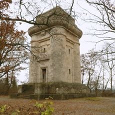
An observation tower at the peak frames views of Tübingen, the Swabian Alb, and the Black Forest spread across different horizons. On clear days, these three distinct landscapes unfold from a single vantage point in a way that captures how the region is geographically organized.
The community of curious travelers
AroundUs brings together thousands of curated places, local tips, and hidden gems, enriched daily by 60,000 contributors worldwide.