Chest opened
+${chestReward.xp} XP
Explorer
NOUVEAU ×${chestReward.collectible.quantity}
tapez pour fermer
Chest locked

Open chests in the app

Around Us is built for your phone — chests unlock when you walk, explore and capture nearby places.

Enable Location

We need your location to show you interesting places around you

Discover nearby places

Find interesting locations and hidden gems around you

Precise directions

Get accurate directions and distances to places

Your location is never shared with other users. It's only used when you tap the location button.

Col du Lautaret

Log in to your account

Start exploring — it's free

Trusted by 72,936 travelers worldwide

Continue with Google
Continue with Apple
or

We will send you a code to connect

By continuing, you accept our Terms and Conditions and our Privacy Policy

Check your inbox

We've sent a pincode in your inbox. Please enter the code below.

Col du Lautaret
Discussion Reviews 2 Photos
18.8k Popularity

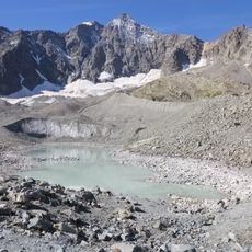
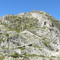
Col du Lautaret, Mountain pass in Villar-d'Arêne, France

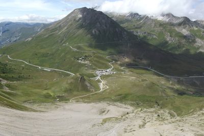
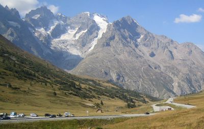
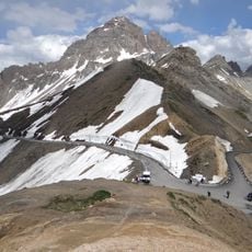
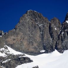
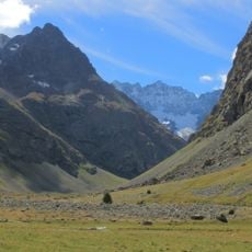
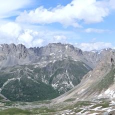
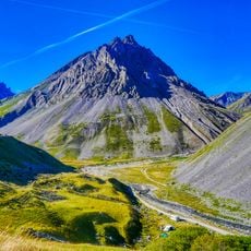
Col du Lautaret is a mountain pass at 2057 meters that connects the Romanche and Guisane valleys in the Hautes-Alpes department. The D1091 road runs over the pass, linking two major regions of the French Alps together.

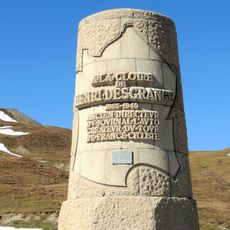
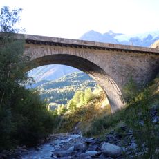
Construction of the pass began in 1880 with extensive work, including blasting through rock, and was completed in 1891. This infrastructure opened the first reliable route across this high mountain region.

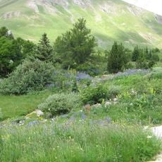
The alpine botanical garden here displays over 2000 mountain plant species from different climatic zones that visitors can walk among and observe up close. The collection shows how plants adapt to extreme altitude and reveals the hidden diversity of alpine life.

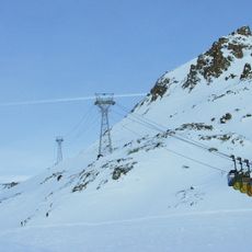
The road remains open year-round, but winter brings snow and ice that may require special equipment and lead to driving restrictions. Check current weather conditions before traveling, especially during colder months, and adjust your vehicle setup accordingly.

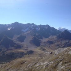
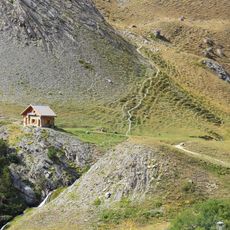
The pass attracts cyclists from different directions who encounter varying levels of challenge depending on their chosen route. The ascent from nearby valleys demands hours of sustained effort and draws experienced riders who seek to test their physical limits.

The community of curious travelers

AroundUs brings together thousands of curated places, local tips, and hidden gems, enriched daily by 60,000 contributors worldwide.

Start exploring
Location
Elevation above the sea
2,057 m
Part of
Route des Grandes Alpes
GPS coordinates
45.03519,6.40506
Latest update
December 7, 2025 10:08
Reviews
Share your experience

No review yet

Discussions
Start a discussion...

No discussion yet

« Col du Lautaret - Mountain pass in Villar-d'Arêne, France » is provided by Around Us (aroundus.com). Images and texts are derived from Wikimedia project under a Creative Commons license. You are allowed to copy, distribute, and modify copies of this page, under the conditions set by the license, as long as this note is clearly visible.

Discover hidden gems everywhere you go!

From secret cafés to breathtaking viewpoints, skip the crowded tourist spots and find places that match your style. Our app makes it easy with voice search, smart filtering, route optimization, and insider tips from travelers worldwide. Download now for the complete mobile experience.

Around Us App Screenshot

A unique approach to discovering new places

Le Figaro

All the places worth exploring

France Info

A tailor-made excursion in just a few clicks

20 Minutes

Around Us
Travel Guide & Maps
Download

Send to your phone

QR Code
1

Open the camera app on your mobile.

2

Point at the QR code with your camera. A notification will appear.

3

Tap the notification to open the link.