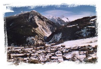
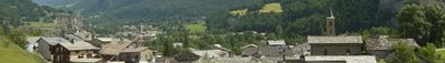
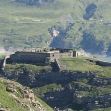
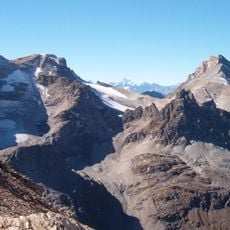
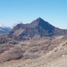
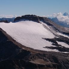
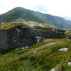
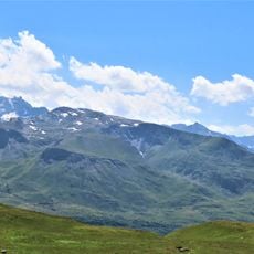
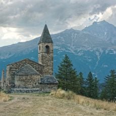
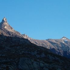
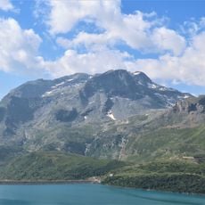
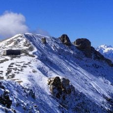
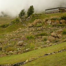
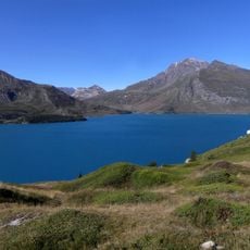
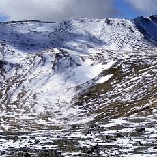
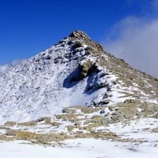
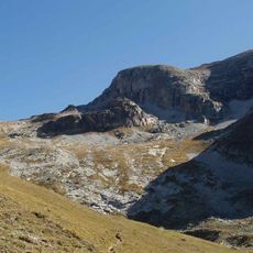
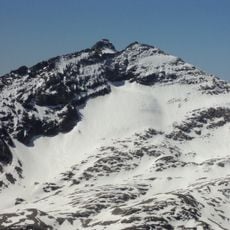
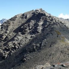
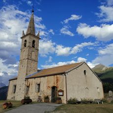
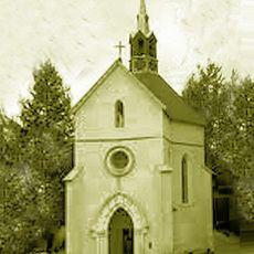
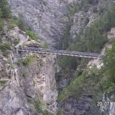
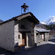
Bramans, former commune in Savoie, France
Location: Savoie
Location: arrondissement of Saint-Jean-de-Maurienne
Elevation above the sea: 2,377 m
Shares border with: Bardonecchia, Exilles, Giaglione, Venaus, Aussois, Avrieux, Lanslebourg-Mont-Cenis, Sollières-Sardières
Address: Bramans, 73500 Val-Cenis, France 73500 Val-Cenis 73500 Val-Cenis
Website: http://bramans.fr
GPS coordinates: 45.22361,6.77611
Latest update: May 28, 2025 21:51
Forte Varisello
12.8 km
Pointe Sommeiller
12.2 km
Aiguille de Scolette
7.1 km
Rognosa d'Etiache
10.9 km
Pointe Ferrand
13.3 km
Ancien fort de Pattacreuse
10.2 km
Bivacco Sigot
13.8 km
Pointe Droset
10.7 km
Église Saint-Pierre d’Extravache
2.2 km
Mont d'Ambin
11.3 km
Dents d'Ambin
11 km
Mont Giusalet
13 km
Pointe de Bellecombe
5.7 km
Punta Galambra
13.4 km
Jardin botanique de Mont Cenis
10.6 km
Signal du Petit Mont-Cenis
7.9 km
Cima del Vallonetto
14.2 km
Mont Froid
5.5 km
Monte Ambin
12.4 km
Gros Peyron
9.5 km
Sommeiller Glacier
12 km
Pointe Niblè
13.1 km
Punta Valfredda
12.9 km
Aquasensations
5.1 km
Église Saint-Laurent de Sardières
2.5 km
Chapelle Notre-Dame-de-la-Délivrance de Bramans
1.8 km
Pont du Diable
3.3 km
Chapelle Sainte-Barbe de Sardières
2.4 kmReviews
Visited this place? Tap the stars to rate it and share your experience / photos with the community! Try now! You can cancel it anytime.
Discover hidden gems everywhere you go!
From secret cafés to breathtaking viewpoints, skip the crowded tourist spots and find places that match your style. Our app makes it easy with voice search, smart filtering, route optimization, and insider tips from travelers worldwide. Download now for the complete mobile experience.
A unique approach to discovering new places❞
— Le Figaro
All the places worth exploring❞
— France Info
A tailor-made excursion in just a few clicks❞
— 20 Minutes