Mont Thabor, Mountain peak in Valmeinier and Névache, France
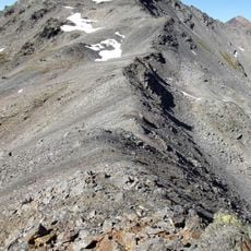
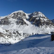
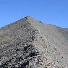
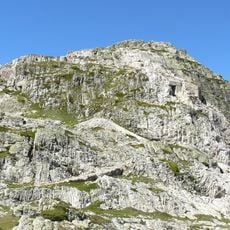
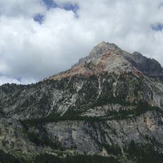
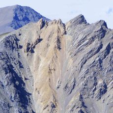
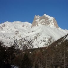
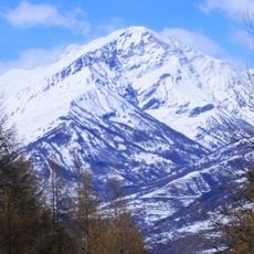
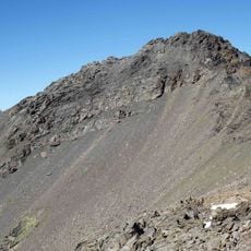
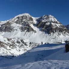
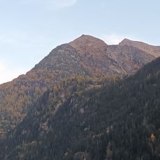
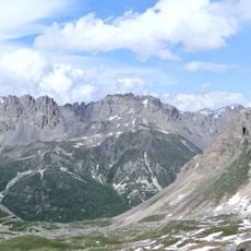
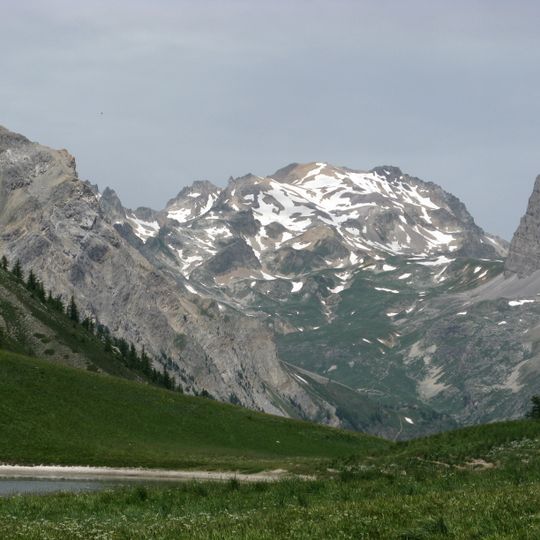
Mont Thabor is a 3,178-metre summit in the Cerces massif, on the border of Savoie and Hautes-Alpes. Its upper slopes are bare grey and brown rock broken by snowfields, with green grass and scattered stone below. The rounded ridge ends in a steep, fractured rock wall on the right, and a chapel stands almost at the top.
The mountain served as a natural border between France and Italy until 1947, when the boundary shifted approximately 5 kilometers eastward. This shift permanently changed the geopolitical status of the region.
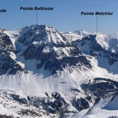
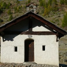
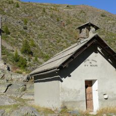
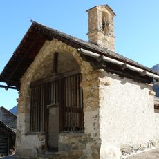
The chapel near the summit is dedicated to Notre-Dame-des-Sept-Douleurs, built on the boundary between Orelle and Névache. A path from Melezet dated 1694 shows a chapel had long stood on the mountain. Giulio Genin wrote in 1910 that nuns from the Melezet valley built it to recall the mysteries of Golgotha, and that three peaks at the valley entrance were named Balthazar, Gaspar and Melchior.
The ascent from the Granges de la vallée Étroite follows the GR 57 to the Pont de la Fonderie, then a track to the Maison des Chamois before the path climbs past the Prat du Plan footbridge to the Col des Méandes at 2,727 m. From the Valle Stretta side, a dirt road passes the old Banchet iron mines and the Pont des Planches at 2,200 m. The final stretch is rocky and exposed.
The summit marked the France-Italy border until the 1947 Treaty of Paris moved the frontier about 5 km east, to the start of the Vallée Étroite. The mountain's older name, crêt du Moine, survives in documents: a 1317 albergement to the inhabitants of Orelle mentions "Ad monachum Bissorte".
The community of curious travelers
AroundUs brings together thousands of curated places, local tips, and hidden gems, enriched daily by 94,160 contributors worldwide.