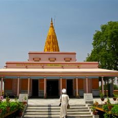
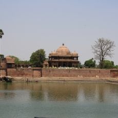
Buxar district, Administrative district in Bihar, India.
Buxar district is an administrative area in Bihar that spreads across fertile plains dedicated largely to agriculture. The region produces rice, wheat, and pulses on numerous fields that dominate the landscape.
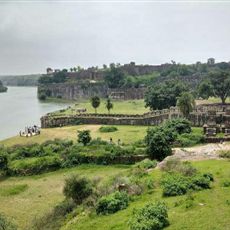
The Battle of Buxar in 1764 was a pivotal moment when the British East India Company defeated combined forces of the Mughal Empire. This clash altered the political course of the region significantly.
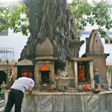
The district hosts traditional celebrations where residents gather for regional music and dance performances that reflect local identity and community bonds. These events remain woven into the social calendar and shape how people connect with one another.
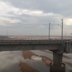
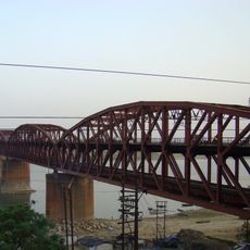
The district is linked to major cities through extensive railways and highway networks, making it accessible from different parts of India. Most visitors can reach it conveniently by various modes of transport.
Local farmers continue to use traditional farming methods on the fertile plains and cultivate rice varieties that are specific to this area. These practices represent a long-standing agricultural heritage passed down through generations.
Location: Patna division
Capital city: Buxar
Shares border with: Ballia district
Website: http://buxar.bih.nic.in
GPS coordinates: 25.56557,83.97566
Latest update: December 7, 2025 10:03
Lion Capital of Asoka
98.1 km
Mundeshwari Temple
76.9 km
Manikarnika Ghat
100.7 km
Ratneshwar Mahadev temple
100.6 km
Dhamek Stupa
97.8 km
Tomb of Sher Shah Suri
68.8 km
Chandra Prabha Sanctuary
72.4 km
Koilwar Bridge
82.6 km
Sarnath Museum
97.9 km
Alamgir Mosque
100.2 km
Ara–Chhapra Bridge
86.1 km
Chaukhandi Stupa
98 km
Nehru Setu
78.7 km
Malviya Bridge
98.4 km
Shergarh Fort
85.8 km
Sankata Devi Mandir
100.6 km
Jawahar Setu
79.2 km
Durga Mandir
99.2 km
Kahaum pillar
79.3 km
Tomb of Hasan Shah Suri
68.8 km
Tomb of Bakhtiar Khan
77.1 km
Sarnath Jain Tirth
97.8 km
Jagadamba Nepali Dharmashala
100.3 km
Maa Kaali & Bhagwan Shankar Temple
91 km
Tomb of Lal Khan
98.3 km
Dr. Rajendra Prasad house
75.3 km
Maner Tank
90.5 km
Maner mound and brick walls near survey plot 399
90.3 kmVisited this place? Tap the stars to rate it and share your experience / photos with the community! Try now! You can cancel it anytime.
Discover hidden gems everywhere you go!
From secret cafés to breathtaking viewpoints, skip the crowded tourist spots and find places that match your style. Our app makes it easy with voice search, smart filtering, route optimization, and insider tips from travelers worldwide. Download now for the complete mobile experience.
A unique approach to discovering new places❞
— Le Figaro
All the places worth exploring❞
— France Info
A tailor-made excursion in just a few clicks❞
— 20 Minutes