Enable Location

We need your location to show you interesting places around you

Discover nearby places

Find interesting locations and hidden gems around you

Precise directions

Get accurate directions and distances to places

Your location is never shared with other users. It's only used when you tap the location button.

Khagaria district

Log in to your account

Start exploring — it's free

Trusted by 62,533 travelers worldwide

Continue with Google
Continue with Apple
or

We will send you a code to connect

By continuing, you accept our Terms and Conditions and our Privacy Policy

Check your inbox

We've sent a pincode in your inbox. Please enter the code below.

Khagaria district

Khagaria district, Administrative district in Munger division, India

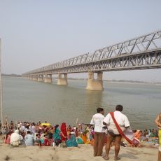
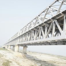
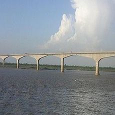
Khagaria is an administrative district in the Munger region covering around 1,486 square kilometers. Seven major rivers, including the Ganges, Koshi, and Bagmati, flow through the territory, creating a network of waterways that shape the landscape.

The district was established in 1981, separating from its former status as part of Munger district. This division marked a significant shift in how the region was administered and governed.

Multiple languages fill daily life here, with Hindi, Urdu, and Angika heard across towns and villages. Local festivals and religious gatherings form the backbone of community identity and social bonds.

Administration is organized into two main subdivisions: Khagaria and Gogri, with several blocks handling local affairs. The territory's numerous waterways mean that river crossings are often necessary when moving around the district.

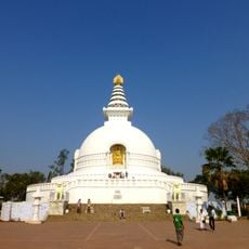
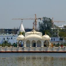
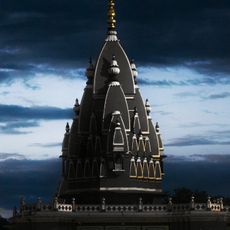
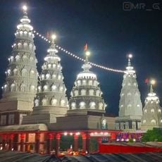
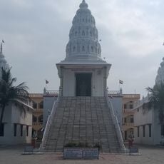
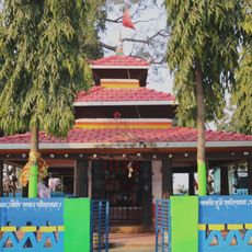
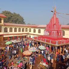
The Sanhouli temple near Khagaria city is a religious site that draws visitors from across multiple states. Dedicated to Mother Durga, this shrine serves as a pilgrimage destination for those seeking spiritual connection.

The community of curious travelers

AroundUs brings together thousands of curated places, local tips, and hidden gems, enriched daily by 60,000 contributors worldwide.

Start exploring
Location
Capital city
Khagaria
Shares border with
Saharsa district, Munger district
Address
Khagaria, Bihar, India
GPS coordinates
25.50000,86.47000
Latest update
December 7, 2025 19:28
« Khagaria district - Administrative district in Munger division, India » is provided by Around Us (aroundus.com). Images and texts are derived from Wikimedia project under a Creative Commons license. You are allowed to copy, distribute, and modify copies of this page, under the conditions set by the license, as long as this note is clearly visible.

Discover hidden gems everywhere you go!

From secret cafés to breathtaking viewpoints, skip the crowded tourist spots and find places that match your style. Our app makes it easy with voice search, smart filtering, route optimization, and insider tips from travelers worldwide. Download now for the complete mobile experience.

Around Us App Screenshot

A unique approach to discovering new places

Le Figaro

All the places worth exploring

France Info

A tailor-made excursion in just a few clicks

20 Minutes

Around Us
Travel Guide & Maps
Download

Send to your phone

QR Code
1

Open the camera app on your mobile.

2

Point at the QR code with your camera. A notification will appear.

3

Tap the notification to open the link.