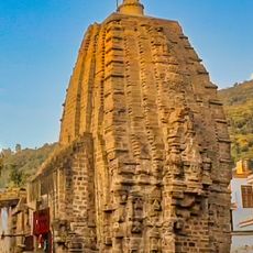
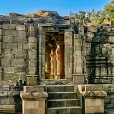
Samba district, Administrative district in Jammu division, India
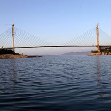
Samba is an administrative district in Jammu division that stretches along the Jammu-Pathankot highway. The Basantar River runs through its eastern boundary toward Pakistan and shapes the natural geography of the area.
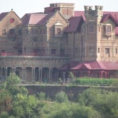
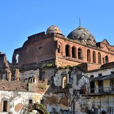
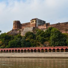
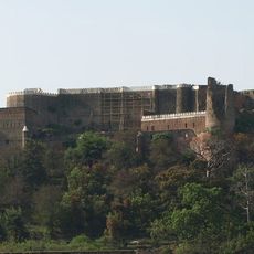
The district emerged around 1400 and became part of Jammu and Kashmir in 1846 when Raja Gulab Singh annexed it during his territorial expansion. This integration linked the region to a larger realm.
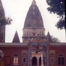
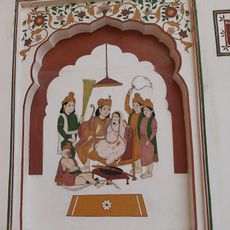
The Rath Kharda Mela brings the community together for eight days at the Narsingh and Annapurna Temple in Ghagwal with religious ceremonies and celebrations. This festival shows how local traditions shape daily life in the region.
Samba railway station on the Jammu-Delhi line connects the district to major cities, while National Highway 44 provides road access across the region. Visitors can arrive and move around using either transportation option.
The district is divided into eight administrative blocks and sits in a strategic location near the Line of Control between Indian and Pakistani territory. This position makes it a distinctive place with particular importance in regional geography.
The community of curious travelers
AroundUs brings together thousands of curated places, local tips, and hidden gems, enriched daily by 60,000 contributors worldwide.