Enable Location

We need your location to show you interesting places around you

Discover nearby places

Find interesting locations and hidden gems around you

Precise directions

Get accurate directions and distances to places

Your location is never shared with other users. It's only used when you tap the location button.

Kollam district

Log in to your account

Start exploring — it's free

Trusted by 61,820 travelers worldwide

Continue with Google
Continue with Apple
or

We will send you a code to connect

By continuing, you accept our Terms and Conditions and our Privacy Policy

Check your inbox

We've sent a pincode in your inbox. Please enter the code below.

Kollam district, Administrative district in Kerala, India

Description

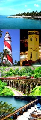
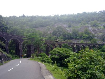
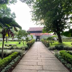
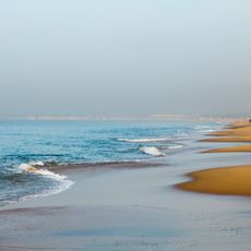
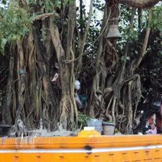
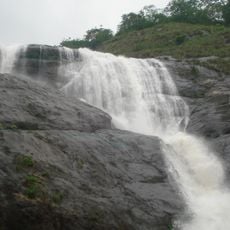
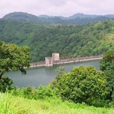
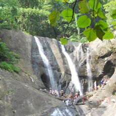
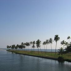
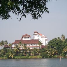
Kollam district stretches along the Arabian Sea coast and includes a network of canals, lakes, and waterways in tropical landscape across southern Kerala. Coconut palms, rice paddies, and fishing villages shape the flat coastal area, while gentle hills rise inland.

History

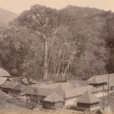
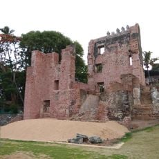
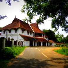
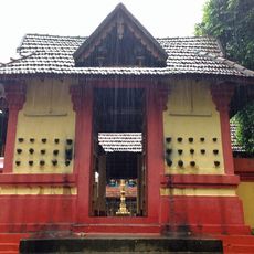
The district formed in 1835 as an administrative unit during British colonial rule and built on an old port site that had conducted spice and textile trade for centuries. Merchants from China, Arabia, and the Mediterranean visited the harbor and brought new goods and ideas to the region.

Culture

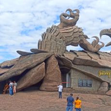
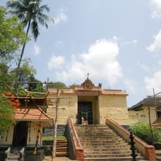
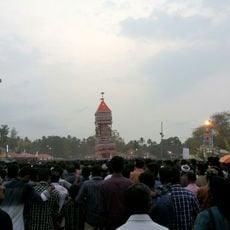
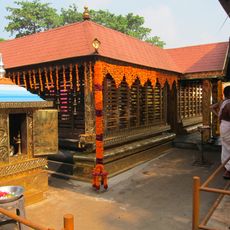
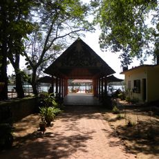
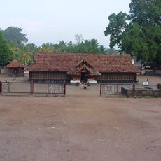
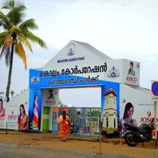
The name Kollam comes from 'Kollam Era', a Malayalam calendar system that marks local time and festival dates. Temples and churches here host celebrations where performers present Kathakali dance and traditional drum ensembles.

Practical

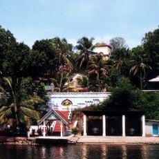
Travelers reach the area through Kollam railway station, National Highway 66, or Thiruvananthapuram International Airport, which sits 70 kilometers (43 miles) to the south. Boats and ferries run through the canals and connect villages along the waterways.

Did you know?

The area hosts more than 25 percent of India's cashew nut processing, and visitors can see small workshops where workers sort and roast nuts by hand. The Ashtamudi lagoon forms eight arms that wind through mangrove forests and rice fields.

Location
Inception
1835
Capital city
Kollam
Shares border with
Tirunelveli district, Alappuzha district, Pathanamthitta district, Thiruvananthapuram district
GPS coordinates
8.80000,76.60000
Latest update
December 14, 2025 17:13

AroundUs brings together thousands of curated places, local tips, and hidden gems, enriched daily by 60,000 contributors worldwide. Discover all places nearby (Kerala).

« Kollam district - Administrative district in Kerala, India » is provided by Around Us (aroundus.com). Images and texts are derived from Wikimedia project under a Creative Commons license. You are allowed to copy, distribute, and modify copies of this page, under the conditions set by the license, as long as this note is clearly visible.

Discover hidden gems everywhere you go!

From secret cafés to breathtaking viewpoints, skip the crowded tourist spots and find places that match your style. Our app makes it easy with voice search, smart filtering, route optimization, and insider tips from travelers worldwide. Download now for the complete mobile experience.

Around Us App Screenshot

A unique approach to discovering new places

Le Figaro

All the places worth exploring

France Info

A tailor-made excursion in just a few clicks

20 Minutes

Around Us
Travel Guide & Maps
Download

Send to your phone

QR Code
1

Open the camera app on your mobile.

2

Point at the QR code with your camera. A notification will appear.

3

Tap the notification to open the link.