Enable Location

We need your location to show you interesting places around you

Discover nearby places

Find interesting locations and hidden gems around you

Precise directions

Get accurate directions and distances to places

Your location is never shared with other users. It's only used when you tap the location button.

South 24 Parganas district

Log in to your account

Start exploring — it's free

Trusted by 62,520 travelers worldwide

Continue with Google
Continue with Apple
or

We will send you a code to connect

By continuing, you accept our Terms and Conditions and our Privacy Policy

Check your inbox

We've sent a pincode in your inbox. Please enter the code below.

South 24 Parganas district

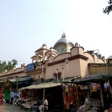
South 24 Parganas district, Administrative district in West Bengal, India

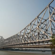
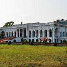
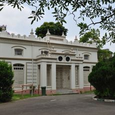
South 24 Parganas is an administrative division in West Bengal stretching from the outskirts of Kolkata to the distant river villages of the Sundarbans. The area covers five subdivisions with Alipore serving as the seat of local administration.

This division was created on March 1, 1986, when the former 24 Parganas split into two separate administrative units. The reorganization aimed to ease governance of the densely settled areas near Kolkata and the sparsely populated coastal regions.

The name Parganas comes from Mughal-era administration, when such divisions organized land and tax collection across territories. Residents and officials continue using this historical term for their local administrative units today.

Travelers reach the individual subdivisions by train and road, connecting Alipore Sadar, Baruipur, Canning, Diamond Harbour, and Kakdwip to one another. Distances vary greatly between the urban north near the city and the remote coastal zones to the south.

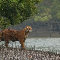
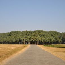
Sections of the Sundarbans mangrove landscape lie within this administrative unit, forming a natural frontier between land and sea. These coastal forests also shelter wild Bengal tigers that survive in the region.

The community of curious travelers

AroundUs brings together thousands of curated places, local tips, and hidden gems, enriched daily by 60,000 contributors worldwide.

Start exploring
Capital city
Alipore
Shares border with
Howrah district, North 24 Parganas district, Kolkata district, Satkhira District
GPS coordinates
22.52649,88.33237
Latest update
December 13, 2025 16:44
« South 24 Parganas district - Administrative district in West Bengal, India » is provided by Around Us (aroundus.com). Images and texts are derived from Wikimedia project under a Creative Commons license. You are allowed to copy, distribute, and modify copies of this page, under the conditions set by the license, as long as this note is clearly visible.

Discover hidden gems everywhere you go!

From secret cafés to breathtaking viewpoints, skip the crowded tourist spots and find places that match your style. Our app makes it easy with voice search, smart filtering, route optimization, and insider tips from travelers worldwide. Download now for the complete mobile experience.

Around Us App Screenshot

A unique approach to discovering new places

Le Figaro

All the places worth exploring

France Info

A tailor-made excursion in just a few clicks

20 Minutes

Around Us
Travel Guide & Maps
Download

Send to your phone

QR Code
1

Open the camera app on your mobile.

2

Point at the QR code with your camera. A notification will appear.

3

Tap the notification to open the link.