Chest opened
+${chestReward.xp} XP
Explorer
NOUVEAU ×${chestReward.collectible.quantity}
tapez pour fermer
Chest locked

Open chests in the app

Around Us is built for your phone — chests unlock when you walk, explore and capture nearby places.

Enable Location

We need your location to show you interesting places around you

Discover nearby places

Find interesting locations and hidden gems around you

Precise directions

Get accurate directions and distances to places

Your location is never shared with other users. It's only used when you tap the location button.

Pavagadh

Log in to your account

Start exploring — it's free

Trusted by 72,882 travelers worldwide

Continue with Google
Continue with Apple
or

We will send you a code to connect

By continuing, you accept our Terms and Conditions and our Privacy Policy

Check your inbox

We've sent a pincode in your inbox. Please enter the code below.

Pavagadh
Discussion Reviews 2 Photos
100k Popularity

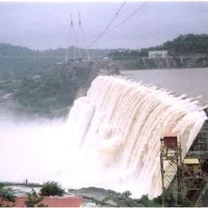
Pavagadh, Hill station in Halol Taluka, India

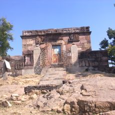
Pavagadh is a hill that rises 762 meters (2500 feet) above a plain in Panchmahal district, Gujarat, forming a prominent landmark in the western Indian landscape. The summit features rock faces and plateaus with vegetation that alternates between open areas and denser green sections.

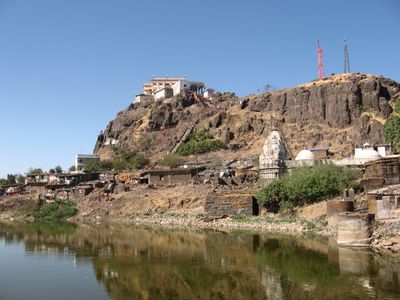
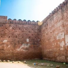
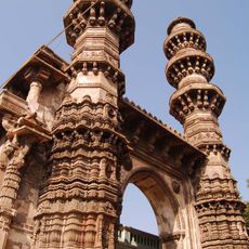
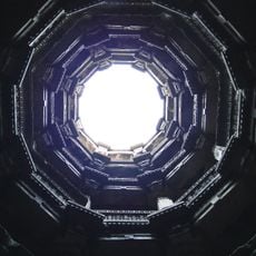
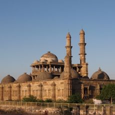
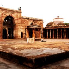
The hill formed about 500 million years ago through volcanic activity and later became a center of power under ruler Mahmud Begada, who built a fortress here in the 15th century. The site became part of the Champaner-Pavagadh UNESCO World Heritage listing in 2004.

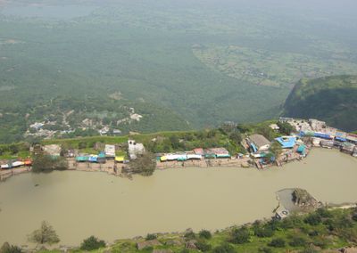
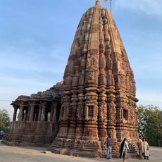
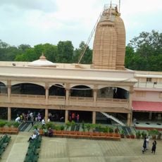
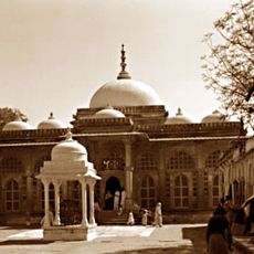
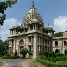
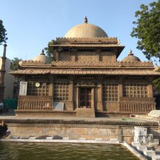
The name Pava ga dh means mountain in a quarter, and the site serves as a place where Hindu pilgrims climb stone steps and pathways to reach shrines scattered across different levels. Many visitors light oil lamps and offer flowers at small roadside temples they encounter along the way up.

A 740-meter (2428-foot) ropeway system takes visitors to the summit, reducing the climb compared to the stone-step footpath. Morning hours offer clearer views across the plain, while afternoons often bring haze that limits distant visibility.

The rock formations consist of volcanic materials like rhyolite, tuff, basalt, and dolerite, stacked in visible layers one above the other. This sequence shows several eruption phases that occurred over long periods.

The community of curious travelers

AroundUs brings together thousands of curated places, local tips, and hidden gems, enriched daily by 60,000 contributors worldwide.

Start exploring
Location
Halol Taluka
Elevation above the sea
762 m
GPS coordinates
22.46111,73.51722
Latest update
December 12, 2025 23:24
Reviews
Share your experience

No review yet

Discussions
Start a discussion...

No discussion yet

« Pavagadh - Hill station in Halol Taluka, India » is provided by Around Us (aroundus.com). Images and texts are derived from Wikimedia project under a Creative Commons license. You are allowed to copy, distribute, and modify copies of this page, under the conditions set by the license, as long as this note is clearly visible.

Discover hidden gems everywhere you go!

From secret cafés to breathtaking viewpoints, skip the crowded tourist spots and find places that match your style. Our app makes it easy with voice search, smart filtering, route optimization, and insider tips from travelers worldwide. Download now for the complete mobile experience.

Around Us App Screenshot

A unique approach to discovering new places

Le Figaro

All the places worth exploring

France Info

A tailor-made excursion in just a few clicks

20 Minutes

Around Us
Travel Guide & Maps
Download

Send to your phone

QR Code
1

Open the camera app on your mobile.

2

Point at the QR code with your camera. A notification will appear.

3

Tap the notification to open the link.