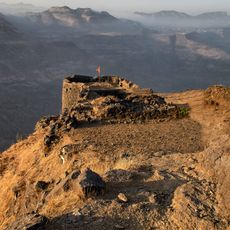
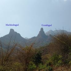
Kothaligad, Ancient fort in Raigad district, India
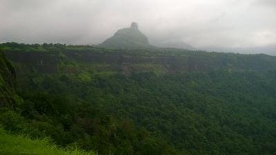
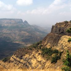
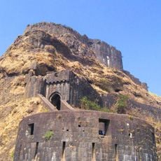
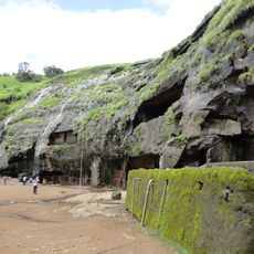
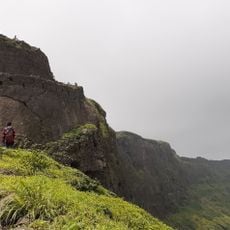
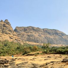
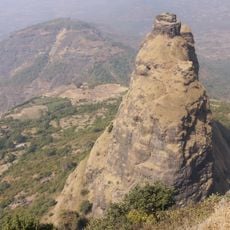
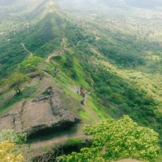
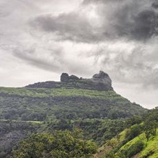
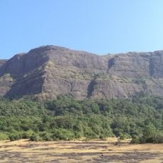
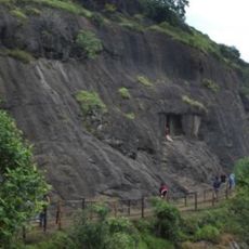
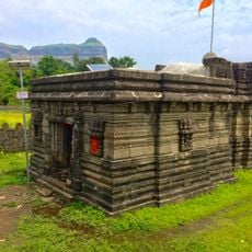
Kothaligad is a fort located in Raigad district at an elevation of roughly 3,100 feet (940 meters) above the surrounding landscape. The structure contains multiple stone-carved caves and a central pinnacle with internal circular stairs that lead upward to the highest point.
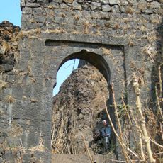
The fort was originally known by its local name and was captured in 1684 under Mughal Emperor Aurangzeb by commander Abdul Kadir, who renamed it Miftahul Fateh after the successful campaign. This conquest represented a significant shift in control during the Mughal period.
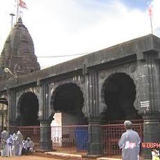
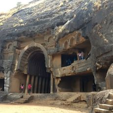
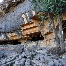
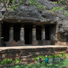
The fort contains multiple stone-carved caves, including the Bhairoba cave with its structured pillars and the cave of Goddess near a water tank.
The ascent involves a trek of roughly 6.5 kilometers starting from Ambivali village, requiring steady climbing across uneven terrain. Food and water can be found at the base settlement before heading up.
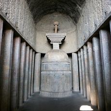
Inside the fort sits a tunnel-shaped chimney formation that acts as an internal passage to reach the uppermost level. This hidden construction demonstrates how builders cleverly used the natural rock formation.
The community of curious travelers
AroundUs brings together thousands of curated places, local tips, and hidden gems, enriched daily by 60,000 contributors worldwide.