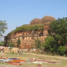
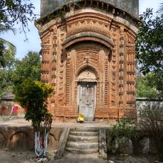
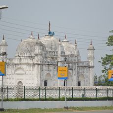
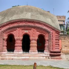
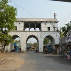
Nalhati II community development block, Administrative block in Rampurhat subdivision, India.
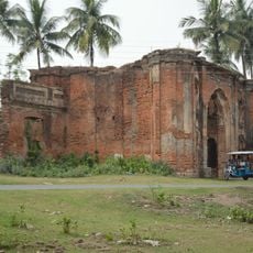
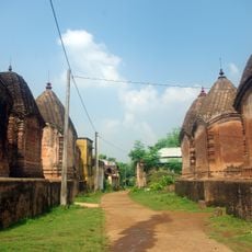
Nalhati II is an administrative block in the northern part of Birbhum district, West Bengal, covering a rural area with multiple villages. The block comprises agricultural land and settlements spread across its territory.
The administrative block was created to improve local governance and service delivery across the region. This division allowed for better infrastructure development and community programs in rural areas.
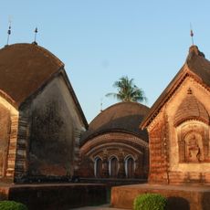
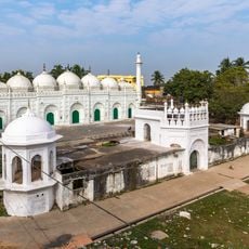
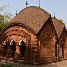
The community reflects a diverse population with multiple religious traditions that shape local celebrations and shared spaces. Daily life here shows how different groups interact in markets, festivals, and neighborhoods.
The area has good electricity coverage and most communities have access to clean drinking water. Visitors should prepare for typical rural conditions and plan transportation in advance.
Agriculture forms the backbone of the local economy with most workers engaged in farming and farm labor. This agricultural focus shapes seasonal rhythms and how the community organizes its daily work.
Location: Rampurhat subdivision
Shares border with: Sagardighi community development block, Nabagram community development block, Khargram community development block, Rampurhat II community development block, Murarai II community development block, Nalhati I community development block
Website: http://birbhum.nic.in
GPS coordinates: 24.30111,87.93611
Latest update: December 12, 2025 14:23
Tarapith
25.4 km
Hazarduari Palace
36.1 km
Namak Haram Deorhi
35 km
Nizamat Imambara
35.9 km
Katra Masjid
38 km
Khushbagh
36.2 km
Maluti temples
32.1 km
Tomb of Azimunnisha Begum
35.3 km
Madina Mosque
36 km
Wasif Manzil
36.3 km
Char Bangla Temples
31.7 km
Nashipur Rajbari
34.8 km
Motijheel Jama Mosque
37.8 km
Bachhawali Tope
36 km
Chawk Masjid
36.4 km
Kathgola palace
35.2 km
Kheraul mosque
14.9 km
Clock Tower of Murshidabad
36.1 km
Yellow Mosque
36 km
Jagat Sett's house
34.6 km
Bhavaniswar Mandir
31.6 km
Fauti Mosque
37.2 km
Ratneshwar temple
32.3 km
White mosque
36.3 km
Siraj ud-Daulah's grave
36.3 km
Dayamoyee Kali temple
37.9 km
Tripolia Gate
36.4 km
Gangeshwar Temple
31.5 kmVisited this place? Tap the stars to rate it and share your experience / photos with the community! Try now! You can cancel it anytime.
Discover hidden gems everywhere you go!
From secret cafés to breathtaking viewpoints, skip the crowded tourist spots and find places that match your style. Our app makes it easy with voice search, smart filtering, route optimization, and insider tips from travelers worldwide. Download now for the complete mobile experience.
A unique approach to discovering new places❞
— Le Figaro
All the places worth exploring❞
— France Info
A tailor-made excursion in just a few clicks❞
— 20 Minutes