Enable Location

We need your location to show you interesting places around you

Discover nearby places

Find interesting locations and hidden gems around you

Precise directions

Get accurate directions and distances to places

Your location is never shared with other users. It's only used when you tap the location button.

Log in to your account

Start exploring — it's free

Trusted by 61,972 travelers worldwide

Continue with Google
Continue with Apple
or

We will send you a code to connect

By continuing, you accept our Terms and Conditions and our Privacy Policy

Check your inbox

We've sent a pincode in your inbox. Please enter the code below.

Raghunathganj I community development block

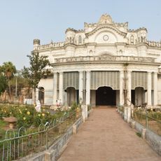
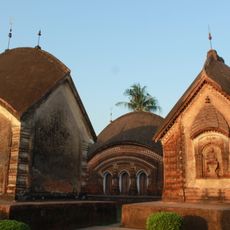
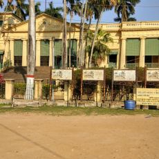
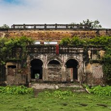
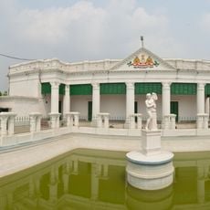
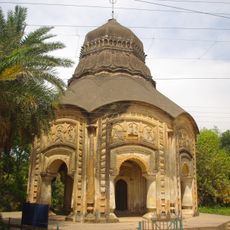
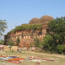
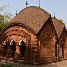
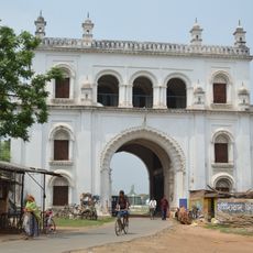
Raghunathganj I community development block, Community development block in Jangipur subdivision, West Bengal, India

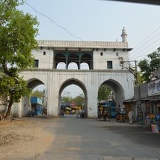
Raghunathganj I is an administrative block in Murshidabad district that covers a flat agricultural landscape in the Rarh region. The block includes several smaller towns and settlements connected by roads, ferries, and bus services.

The area underwent major land reforms in the 1970s that changed how agricultural land was owned and managed. These changes had lasting effects on how farming communities were organized.

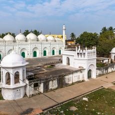
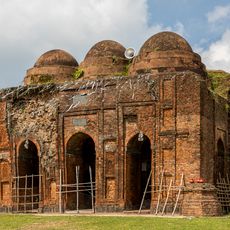
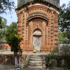
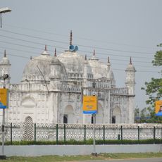
The communities here live alongside each other, with both Muslim and Hindu families forming the social fabric of daily life. You can see this diversity reflected in the local customs and how people interact in the streets and markets.

The block is served by ferry services and regular bus routes that connect towns and villages throughout the area. Plan your visit during drier months when local roads are easier to navigate.

Small household industries are scattered throughout the area, producing textiles and other goods alongside farming. These workshops are an important part of how families earn their living here.

The community of curious travelers

AroundUs brings together thousands of curated places, local tips, and hidden gems, enriched daily by 60,000 contributors worldwide.

Start exploring
Elevation above the sea
31 m
Shares border with
Suti I community development block, Raghunathganj II community development block, Sagardighi community development block, Murarai II community development block
GPS coordinates
24.46000,88.07000
Latest update
December 10, 2025 20:10
« Raghunathganj I community development block - Community development block in Jangipur subdivision, West Bengal, India » is provided by Around Us (aroundus.com). Images and texts are derived from Wikimedia project under a Creative Commons license. You are allowed to copy, distribute, and modify copies of this page, under the conditions set by the license, as long as this note is clearly visible.

Discover hidden gems everywhere you go!

From secret cafés to breathtaking viewpoints, skip the crowded tourist spots and find places that match your style. Our app makes it easy with voice search, smart filtering, route optimization, and insider tips from travelers worldwide. Download now for the complete mobile experience.

Around Us App Screenshot

A unique approach to discovering new places

Le Figaro

All the places worth exploring

France Info

A tailor-made excursion in just a few clicks

20 Minutes

Around Us
Travel Guide & Maps
Download

Send to your phone

QR Code
1

Open the camera app on your mobile.

2

Point at the QR code with your camera. A notification will appear.

3

Tap the notification to open the link.