Kurnool mandal, Administrative division in Kurnool district, India
Description
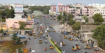
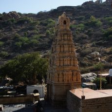
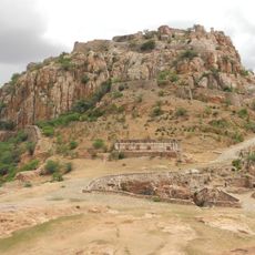
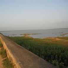
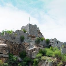
Kurnool mandal is an administrative division in Kurnool district that encompasses several settlements spread along the Krishna River. The city of Kurnool functions as its administrative center and largest population center.
History
The area came under British administration in 1800 when the Nizam of Hyderabad ceded the region to the British East India Company. This transfer led to a reorganization of administrative structures that shaped the mandal system we see today.
Culture
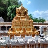
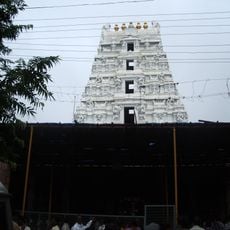
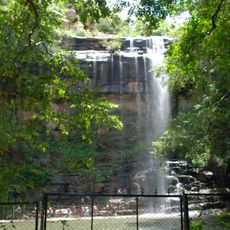
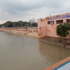
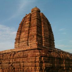
Telugu is the language spoken across the settlements and represents the linguistic identity of this region in Andhra Pradesh. Local communities maintain traditions connected to the Krishna River and agricultural practices that shape daily life.
Practical
The mandal is closely linked to surrounding administrative divisions including C.Belagal, Gudur, Kallur, Orvakal, Midthur, and Nandikotkur, which together form the regional governance network. Visitors should note that administrative services are distributed across several centers.
Did you know?
The mandal comprises numerous smaller villages such as Chejerla, Kommupalem, and Devarampadu, each maintaining its own administrative records. This scattered settlement pattern reflects how local governance operates at the grassroots level across the region.
AroundUs brings together thousands of curated places, local tips, and hidden gems, enriched daily by 60,000 contributors worldwide. Discover all places nearby (Kurnool district).
Andhra Pradesh, a state in southern India along the Gulf of Bengal, holds places that tell long stories of belief and nature. There are old Hindu temples like Tirupati, one of the most visited pilgrimage spots in the country, and the Buddhist caves of Undavalli, carved into the rock more than 1500...
Mallikarjuna Temple
91.7 km
Belum Caves
81.3 km
Yaganti Temple
54.2 km
Alampur Jogulamba Temple
10.2 km
Nagarjunakonda
148.6 km
Konda Reddy Fort
442 m
Chowdeshwari Temple at Nandavaram
56.5 km
Bellary Fort
143.9 km
Mallela Theertham
99 km
Orvakal Rock Garden, Kurnool
18.9 km
K. C. Canal
24.4 km
Bugga Ramalingeswara temple
101.6 km
Beechupally
39 km
Gooty Fort
90.5 km
Alampur Navabrahma Temples
10.6 km
Dindi Reservoir
104.2 km
Galeru Nagari Sujala Sravanthi Project
115.8 km
Raichur Fort
83.6 km
Chintala Venkataramana Temple, Tadipatri
102.4 km
Chandavaram Buddhist site
148 km
Sunkesula Barrage
24.4 km
Alampur Papanasi Temples
9 km
Anantapur clock tower
136.9 km
Aqua Fun
150.5 km
Bhairavakonda Caves
148.5 km
Abdul Wahab Khan's Tomb
472 m
Sri Lakshmi Narasimha Swamy Temple, Ahobilam
102.4 km
Yaganti Caves
54.2 kmDiscover hidden gems everywhere you go!
From secret cafés to breathtaking viewpoints, skip the crowded tourist spots and find places that match your style. Our app makes it easy with voice search, smart filtering, route optimization, and insider tips from travelers worldwide. Download now for the complete mobile experience.
A unique approach to discovering new places❞
— Le Figaro
All the places worth exploring❞
— France Info
A tailor-made excursion in just a few clicks❞
— 20 Minutes