Enable Location

We need your location to show you interesting places around you

Discover nearby places

Find interesting locations and hidden gems around you

Precise directions

Get accurate directions and distances to places

Your location is never shared with other users. It's only used when you tap the location button.

Log in to your account

Start exploring — it's free

Trusted by 61,971 travelers worldwide

Continue with Google
Continue with Apple
or

We will send you a code to connect

By continuing, you accept our Terms and Conditions and our Privacy Policy

Check your inbox

We've sent a pincode in your inbox. Please enter the code below.

Murarai II community development block

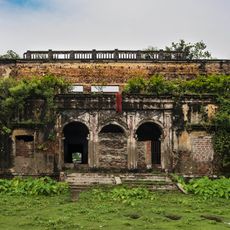
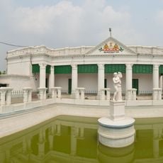
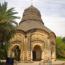
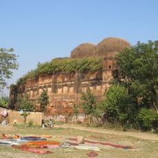
Murarai II community development block, Administrative block in Rampurhat subdivision, India

Murarai II is an administrative block in West Bengal comprised of numerous villages and rural settlements scattered across the landscape. The land here transitions from laterite-rich western terrain to alluvial plains in the east, creating varied agricultural zones.

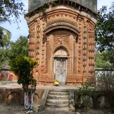
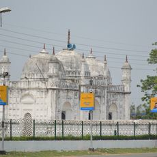
This area is part of the ancient Rarh territory and has long been rooted in agriculture. Natural forces shaped the landscape over centuries, creating the varied soil conditions that define farming here today.

Bengali is the language heard throughout the villages and towns here, shaping daily life and local traditions. The community's cultural practices revolve around agriculture and seasonal celebrations tied to farming cycles.

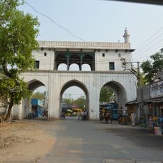
This is a rural area with villages spread across the landscape and connected by local roads. Take time to explore at an unhurried pace, as facilities and services are simple and distributed across different settlements.

Most people here earn their living through farm work, adapting their methods to different soil types and conditions. This agricultural variety is less obvious to visitors but shapes daily life and the landscape fundamentally.

The community of curious travelers

AroundUs brings together thousands of curated places, local tips, and hidden gems, enriched daily by 60,000 contributors worldwide.

Start exploring
Shares border with
Murarai I community development block, Nalhati I community development block, Nalhati II community development block, Suti I community development block, Raghunathganj I community development block, Sagardighi community development block
GPS coordinates
24.42583,87.96017
Latest update
December 12, 2025 12:02
« Murarai II community development block - Administrative block in Rampurhat subdivision, India » is provided by Around Us (aroundus.com). Images and texts are derived from Wikimedia project under a Creative Commons license. You are allowed to copy, distribute, and modify copies of this page, under the conditions set by the license, as long as this note is clearly visible.

Discover hidden gems everywhere you go!

From secret cafés to breathtaking viewpoints, skip the crowded tourist spots and find places that match your style. Our app makes it easy with voice search, smart filtering, route optimization, and insider tips from travelers worldwide. Download now for the complete mobile experience.

Around Us App Screenshot

A unique approach to discovering new places

Le Figaro

All the places worth exploring

France Info

A tailor-made excursion in just a few clicks

20 Minutes

Around Us
Travel Guide & Maps
Download

Send to your phone

QR Code
1

Open the camera app on your mobile.

2

Point at the QR code with your camera. A notification will appear.

3

Tap the notification to open the link.