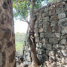
Palghar district, Administrative district in Konkan division, Maharashtra, India
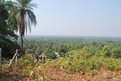
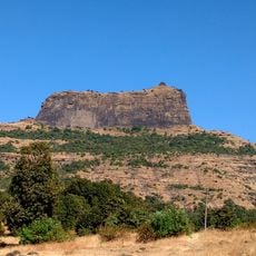
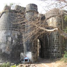
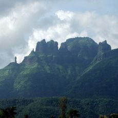
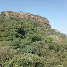
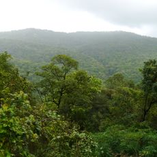
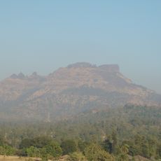
Palghar is an administrative district within the Konkan division of Maharashtra, stretching along the coast from Dahanu in the north to Naigaon in the south and covering coastal plains, hill terrain, and urban centers near the Arabian Sea. The territory is divided into eight talukas, with larger towns like Vasai and Palghar serving as local hubs while smaller settlements spread across palm groves and terraced farmland.
The territory became Maharashtra's 36th district in August 2014 when several talukas were separated from the existing Thane administration. This reorganization responded to demands for local governance in an area that had previously been managed as part of a larger administrative unit.
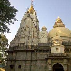
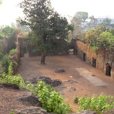
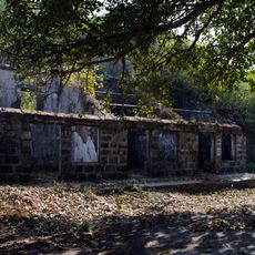
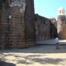
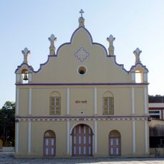
Markets in coastal towns display fresh catch from fishing boats alongside produce grown on hillside farms, where vendors speak a mix of Marathi and Konkani dialects. Villages inland feature small temples with colorful facades and painted clay houses that reflect the daily routines of farming and fishing families who have lived here for generations.
The Western Railway connects main towns along the coast, allowing travelers to move between northern and southern settlements throughout the day. Local buses and auto-rickshaws provide onward links to villages and hill areas not directly served by trains, making it easier to reach inland destinations.
The Tarapur Atomic Power Station was India's first nuclear plant built for civilian energy production, beginning operations in the 1960s. Despite this industrial presence, much of the surrounding countryside remains agricultural, with rice paddies, pulses, and vegetable crops spread across the hills.
The community of curious travelers
AroundUs brings together thousands of curated places, local tips, and hidden gems, enriched daily by 60,000 contributors worldwide.