
Tell Haddad, archaeological site in Iraq
Location: Diyala Governorate
Height: 6 m
Part of: Me-Turan
GPS coordinates: 34.21444,45.08472
Latest update: September 1, 2025 09:46
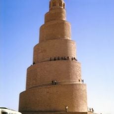
Great Mosque of Samarra
110.9 km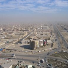
Sadr City
108.6 km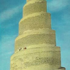
Malwiya
110.9 km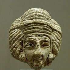
Eshnunna
60.2 km
Al-Askari Shrine
111.5 km
Al-Shaheed Monument
113.6 km
Baghdad Tourist Island
110 km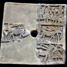
Khafajah
60.2 km
Sherwana Castle
48.5 km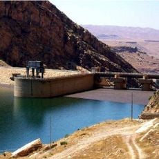
Darbandikhan Dam
115.1 km
Al-Aaimmah bridge
115.3 km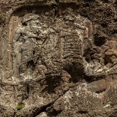
Anobanini rock relief
77.2 km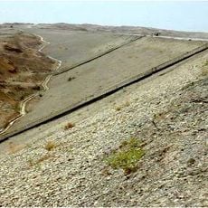
Adhaim Dam
65.2 km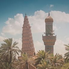
Mausoleum of Umar Suhrawardi
115.1 km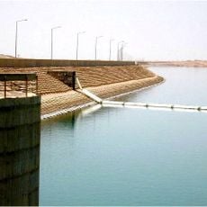
Hemrin Dam
15.5 km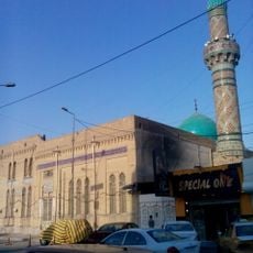
Al Asafi Mosque
114.1 km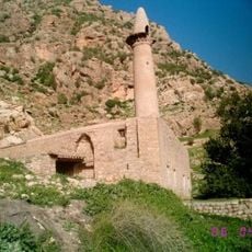
Abdullah ibn Umar Mosque
90.3 km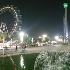
مدينة العاب بغداد - زيونة
113.8 km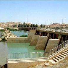
Diyala Weir
19.2 km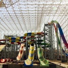
Baghdad Aqua Park
113.6 km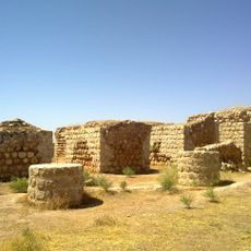
Khosrow Palace (Qasr-e Shirin)
57.5 km
Dukkan-e Daud
78.9 km
Taq-e Gara
89.1 km
Jawsaq Palace
111.5 km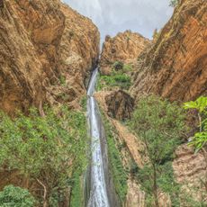
Piran waterfall
85.8 km
Qaleh-i Yazdigird
87.7 km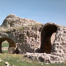
Siah Gol Fire Temple
96.8 km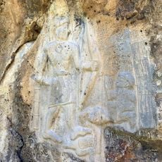
Darband-i Belula
100.9 kmReviews
Visited this place? Tap the stars to rate it and share your experience / photos with the community! Try now! You can cancel it anytime.
Discover hidden gems everywhere you go!
From secret cafés to breathtaking viewpoints, skip the crowded tourist spots and find places that match your style. Our app makes it easy with voice search, smart filtering, route optimization, and insider tips from travelers worldwide. Download now for the complete mobile experience.

A unique approach to discovering new places❞
— Le Figaro
All the places worth exploring❞
— France Info
A tailor-made excursion in just a few clicks❞
— 20 Minutes