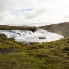
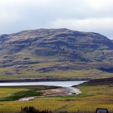
Laugarvatn, Geothermal lake in South Iceland
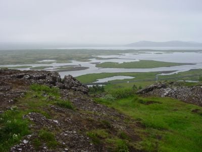
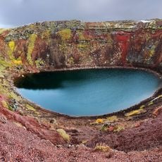
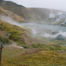
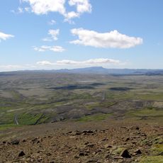
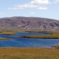
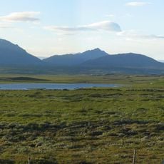
Laugarvatn is a lake in South Iceland naturally heated by underground hot springs that create varying water temperatures across different zones. The body of water spans roughly two square kilometers and sits surrounded by moss-covered landscapes and geothermal fields.
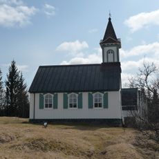
Settlement around the lake began in the early 20th century when a boarding school was established to take advantage of the geothermal resources. This school foundation shaped the region's development and turned the area into an important educational center for Iceland.
The name comes from the Icelandic word for 'bath water,' reflecting how locals have always valued the natural hot springs. People gather here to experience the geothermal warmth that shapes daily life in this region.
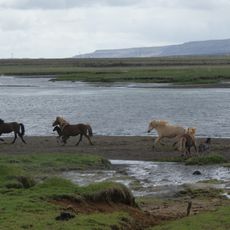
Boats and fishing equipment are available to rent at the shore, allowing visitors to explore the natural temperature zones or try fishing. Permits are required for fishing, and the best time to swim is during calm weather when temperature differences are most noticeable.
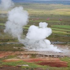
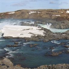
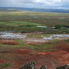
In certain spots, hot water from geothermal sources mixes with cold surface water, creating natural transition zones for swimming. These blending areas allow visitors to swim even in colder months, as some zones stay pleasantly warm year-round.
The community of curious travelers
AroundUs brings together thousands of curated places, local tips, and hidden gems, enriched daily by 60,000 contributors worldwide.