Enable Location

We need your location to show you interesting places around you

Discover nearby places

Find interesting locations and hidden gems around you

Precise directions

Get accurate directions and distances to places

Your location is never shared with other users. It's only used when you tap the location button.

Kerlingarfjöll

Log in to your account

Start exploring — it's free

Trusted by 62,342 travelers worldwide

Continue with Google
Continue with Apple
or

We will send you a code to connect

By continuing, you accept our Terms and Conditions and our Privacy Policy

Check your inbox

We've sent a pincode in your inbox. Please enter the code below.

Kerlingarfjöll

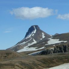
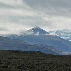
Kerlingarfjöll, Volcanic massif in Hrunamannahreppur, Iceland

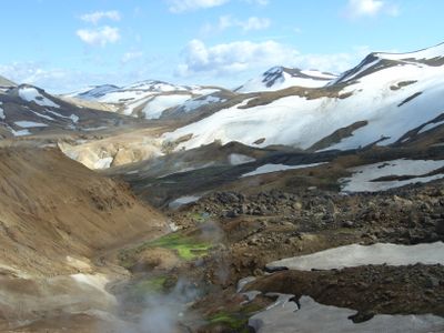
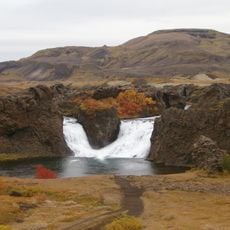
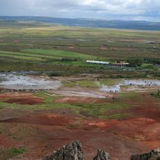
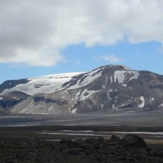
Kerlingarfjöll is a volcanic massif in the Icelandic highlands composed of rhyolite rock that glows in warm tones. The mountains display intense yellow, red, and brown colorations created by mineral deposits from its geothermal activity.

The area formed through volcanic activity millions of years ago, shaping what visitors see today. Not until the 19th century did scientists systematically explore the region and document its distinctive geological features.

The name comes from an old story about a giantess said to have turned to stone at sunrise. Visitors today can see the striking rock formations that give shape to this local tale.

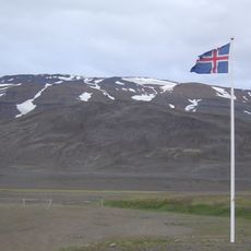
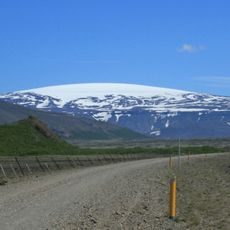
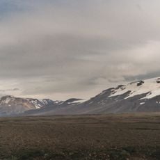
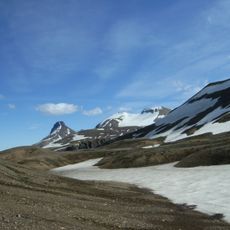
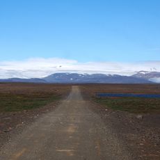
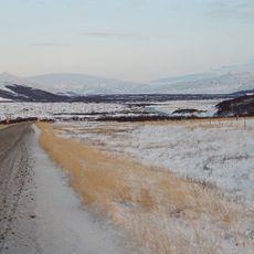
The mountains are only accessible by high-clearance vehicles over dirt mountain roads that can become impassable after snowfall. Bring warm clothes and supplies, as the area is remote and windy.

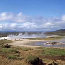
Hidden within the mountains lies one of Europe's largest geothermal fields, with steaming vents and hot springs scattered throughout. The combination of colorful rocks and active steam makes this place visually and sensorially unforgettable.

The community of curious travelers

AroundUs brings together thousands of curated places, local tips, and hidden gems, enriched daily by 60,000 contributors worldwide.

Start exploring
Elevation above the sea
1,477 m
Made from material
rhyolite
GPS coordinates
64.65000,-19.25000
Latest update
December 6, 2025 17:40
The Best Spots in Iceland and Reykjavik

Iceland is an island shaped by ice and fire. Glaciers cover much of the interior while geothermal areas show that something is always happening beneath the surface. The landscapes here look different from most places: black sand beaches formed by volcanic activity, fjords cutting deep into the...

« Kerlingarfjöll - Volcanic massif in Hrunamannahreppur, Iceland » is provided by Around Us (aroundus.com). Images and texts are derived from Wikimedia project under a Creative Commons license. You are allowed to copy, distribute, and modify copies of this page, under the conditions set by the license, as long as this note is clearly visible.

Discover hidden gems everywhere you go!

From secret cafés to breathtaking viewpoints, skip the crowded tourist spots and find places that match your style. Our app makes it easy with voice search, smart filtering, route optimization, and insider tips from travelers worldwide. Download now for the complete mobile experience.

Around Us App Screenshot

A unique approach to discovering new places

Le Figaro

All the places worth exploring

France Info

A tailor-made excursion in just a few clicks

20 Minutes

Around Us
Travel Guide & Maps
Download

Send to your phone

QR Code
1

Open the camera app on your mobile.

2

Point at the QR code with your camera. A notification will appear.

3

Tap the notification to open the link.