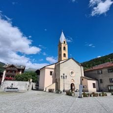
Valdidentro, Italian comune
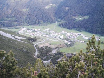
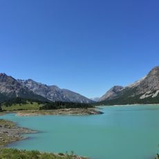
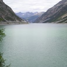
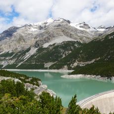
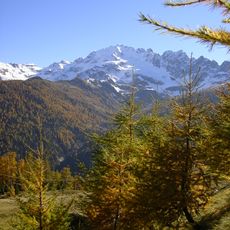
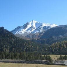
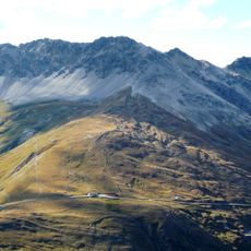
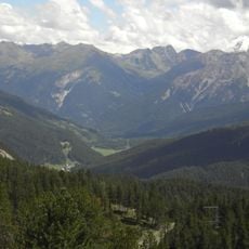
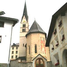
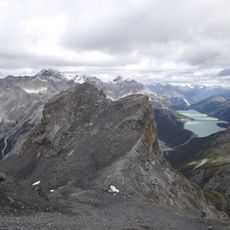
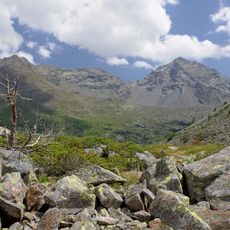
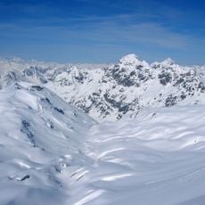
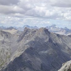
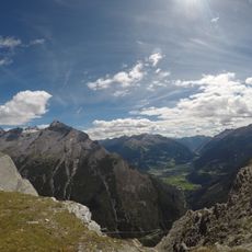
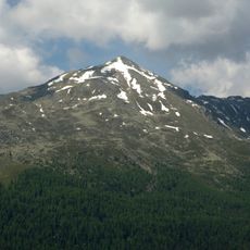
Valdidentro is a commune in Sondrio Province nestled at the foot of Cima Piazzi, known for its thermal springs and mountain valleys. The area includes Cancano Valley and Val Viola, and sits near Stelvio National Park.
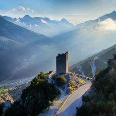
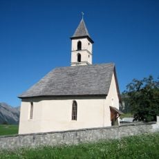
The area was known since antiquity for its mineral springs, mentioned in classical texts by ancient writers. Medieval towers such as the Fraele towers were built for defense, while iron mining and processing became important during the 1800s.
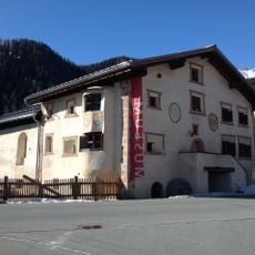
The thermal baths define how locals and visitors experience this place, drawing people for healing since ancient times. The Bagni Vecchi and Bagni Nuovi represent a tradition that remains central to daily life here.
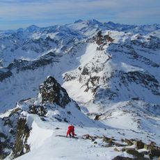
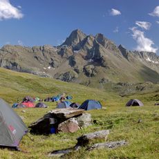
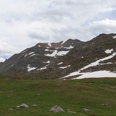
Visitors can ski at Cima Piazzi slopes in winter, which are family-friendly, and in summer hiking and mountain biking trails cross the landscape. Summer months from June to September offer the best conditions for trekking, while December to March suits winter activities.
The territory was once divided into two parts following a major historical event, an unusual administrative split that was only recently resolved. This rarely discussed division reveals the intricate history of how political boundaries shaped the area.
The community of curious travelers
AroundUs brings together thousands of curated places, local tips, and hidden gems, enriched daily by 60,000 contributors worldwide.