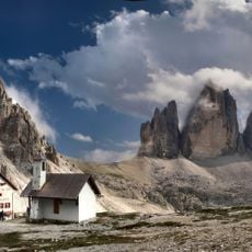
Sexten Dolomites, Mountain range and protected area in South Tyrol, Italy.
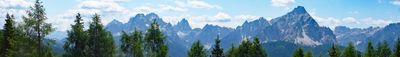
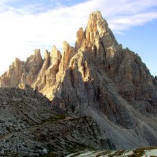
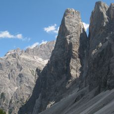
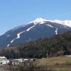
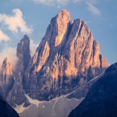
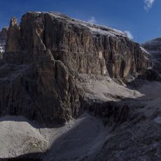
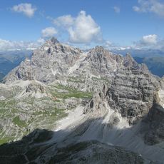
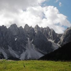
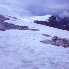
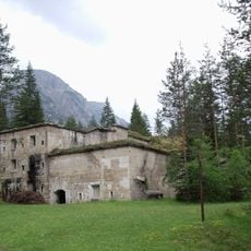
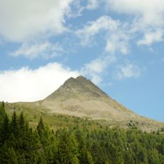
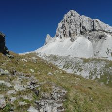
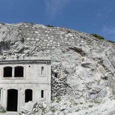
The Sexten Dolomites form a mountain range in South Tyrol with rugged peaks, high plateaus, and deeply carved valleys throughout the terrain. The system features extensive networks of hiking routes, mountain shelters, and distinctive rock formations with varying colors that shift with sunlight.
The mountain range became a protected natural area in 1981, establishing regulations to preserve its geological and ecological features. This designation shaped how the territory is managed for both conservation and responsible tourism practices today.
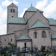
The region blends Italian and German influences through the bilingual names found on trails, huts, and peak markers throughout the landscape. This cultural mixture is evident in how locals and visitors move through the mountains and interact with the places they visit.
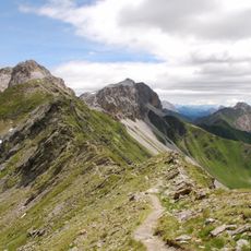
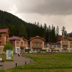
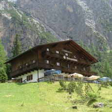
The area offers marked hiking paths of varying difficulty levels with mountain shelters serving as waypoints and rest spots throughout. Main access routes run through the village of Sesto and Puster Valley, where parking and visitor information are available.
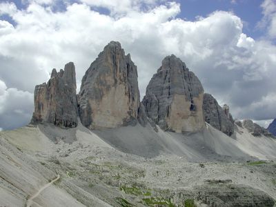
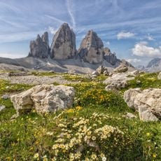
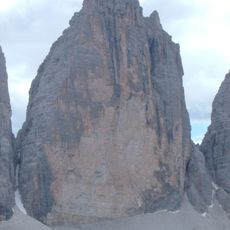
The three Tre Cime di Lavaredo peaks rise as nearly vertical columns from the surrounding terrain, creating a striking visual impact especially at dawn. These formations are widely recognized and have become one of the Alps' most photographed landmarks worldwide.
The community of curious travelers
AroundUs brings together thousands of curated places, local tips, and hidden gems, enriched daily by 60,000 contributors worldwide.