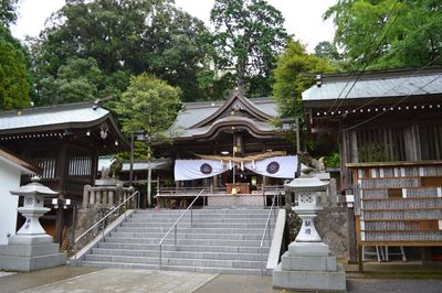
Bungo Province, Historical province in eastern Kyūshū, Japan
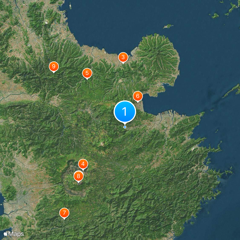
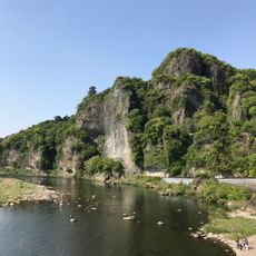
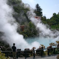
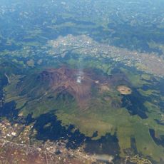
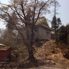
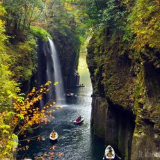
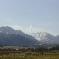
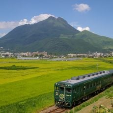
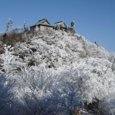
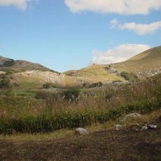
Bungo was a province covering what is now Ōita Prefecture in eastern Kyūshū, stretching from the Bungo Strait to the mountainous interior. The territory included coastal plains, river valleys, and forested highlands, offering different landscape types within a single administrative unit.
The territory formed as its own administrative unit in 701 after the larger Toyo Province was divided during nationwide reforms. The provincial structure lasted until 1872, when the prefecture system was introduced and the earlier boundaries were partly redrawn.
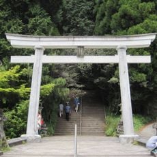
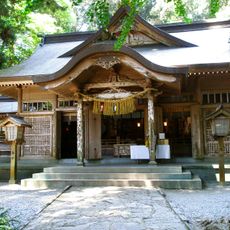
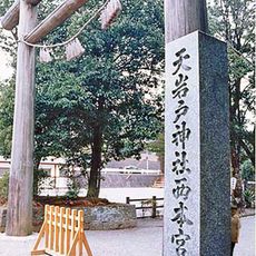
The name comes from the shortened form of Bungo no Kuni, while local residents still refer to areas within the former territory by historical districts. Many place names and road signs preserve these old designations, showing the lasting connection to the administrative divisions from before the Meiji era.
Visitors exploring traces of the historical territory can find maps and records from the provincial period in local museums and archives. The present-day prefectural government offers public documents and information centers that explain the transition from provincial to modern administrative structures.
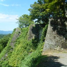
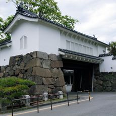
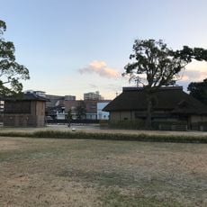
Several feudal lords shared control over different sections of the territory, contrasting with the usual unity under a single lord in other Kyūshū provinces. This division led to different castle towns and administrative centers that developed independently of one another.
The community of curious travelers
AroundUs brings together thousands of curated places, local tips, and hidden gems, enriched daily by 60,000 contributors worldwide.