Chikugo River, River system in Fukuoka and Saga Prefectures, Japan.
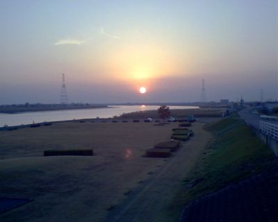
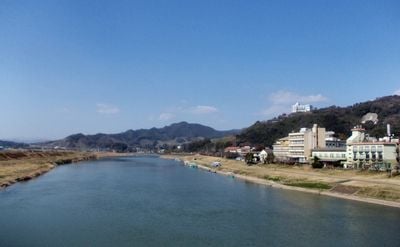
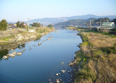
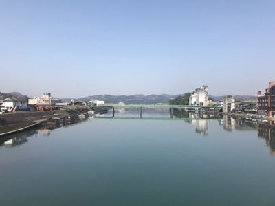
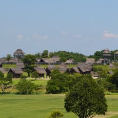
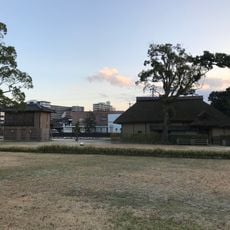
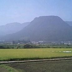
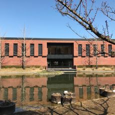
The Chikugo is a river system in Kyushu that runs 143 kilometers from Mount Aso to the Ariake Sea, crossing four prefectures. Its wide banks alternate between forested slopes in the upper reaches and flat agricultural plains near the mouth, where the water flows slowly toward the sea.
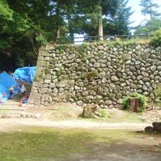
Since the 17th century, the river system served as a trade route between the mountains and the coast, where boats carried rice, timber, and goods. Bridges and embankments were built over time to control flooding and ease access to the banks.
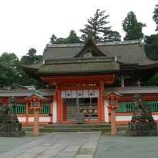
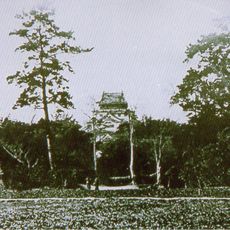
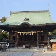
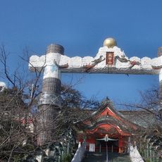
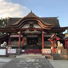
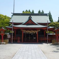
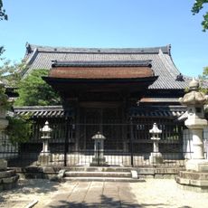
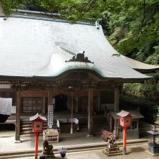
The name Chikugo comes from the historical province whose rice fields the water has nourished for centuries. Along certain stretches, small shrines stand between the banks, where fishermen and traders once prayed for safe passage before journeys and visitors still stop today.
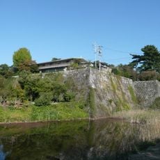
Several viewpoints along the banks offer views of the water and surrounding fields, especially where paths run along the embankments. Most areas are accessible on foot or by bicycle, though some sections are visible only from roads.
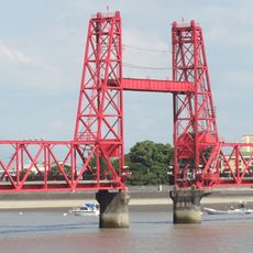
At Morodomi, the central section of a bridge lifts eight times daily to allow boats to pass between two prefectures. This movable structure is one of the few vertical lift bridges in Japan and draws onlookers who come to watch the mechanism in action.
The community of curious travelers
AroundUs brings together thousands of curated places, local tips, and hidden gems, enriched daily by 60,000 contributors worldwide.