Edo River, Distributary river system in Kantō region, Japan
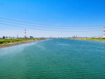
The Edo River is a distributary in the Kantō region of Japan, running 59.5 kilometers from Noda City to Tokyo Bay. It forms borders between Tokyo, Chiba and Saitama, separating these three prefectures along its course through urban and rural areas.
In 1654, the Tokugawa shogunate altered the course of the waterway away from the Tone River to protect Edo from flooding. This diversion improved the transport system for goods between surrounding areas and the capital at the same time.
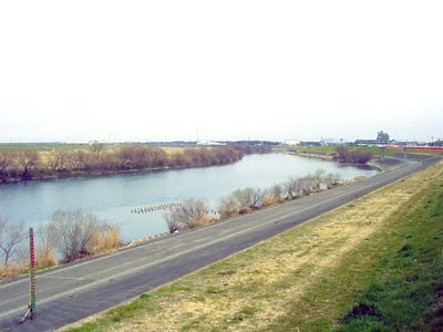
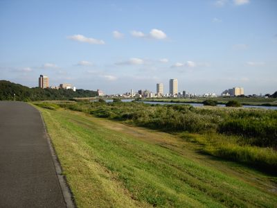
The waterway takes its name from old Edo, which later became Tokyo. Residents use the riverside paths daily for jogging, cycling or walking dogs, especially during early morning hours and late afternoons.
Markers every 250 meters along the banks help with orientation and show the distance covered. The wide riverside paths suit cycling and walking well, especially on weekends outside of peak hours.
Several industries around mirin rice vinegar and soy sauce developed along the banks during the Edo Period, as transport routes were favorably located here. Today the waterway system supplies millions of residents across several prefectures with water and still connects rural communities with the Tokyo metropolitan area.
The community of curious travelers
AroundUs brings together thousands of curated places, local tips, and hidden gems, enriched daily by 60,000 contributors worldwide.