Ibi River, River system in Gifu and Mie Prefectures, Japan.
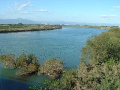
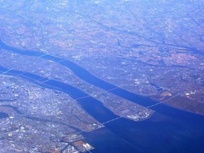
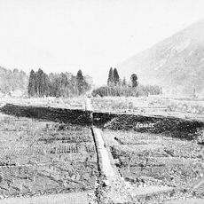
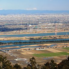
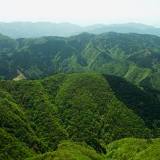
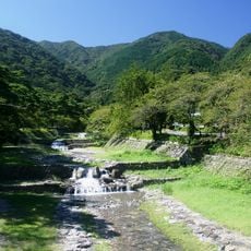
The Ibi River is a waterway that flows for 121 kilometers across mountainous terrain and farmland in Gifu and Mie Prefectures before joining the Nagara River near Kuwana. The river passes through a mix of steep valleys and flat agricultural zones as it makes its way downstream.
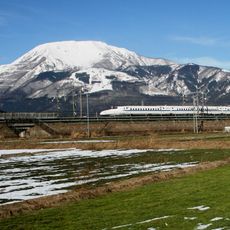
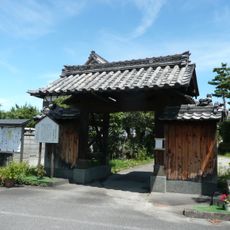
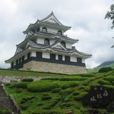
During the Edo period, the river marked where Kuwana-juku stood, an important station on the historic Tōkaidō route used by traders and travelers. This location made the area a key point where people stopped as they moved between regions.
Local fishermen practice traditional methods to catch ayu fish when the water runs clear in spring and summer, continuing customs that have shaped life along the banks for generations. These fishing practices remain part of how people connect with the river and mark the passing seasons.
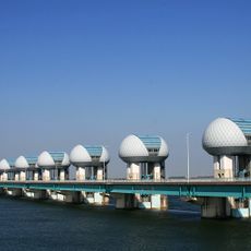
The river system has multiple flood control measures and water management facilities protecting the surrounding towns and farmland. Being aware of these infrastructure elements helps visitors understand how the waterway is managed.
The river forms part of the Kiso Three Rivers system, a network where multiple waterways shape the landscape and connect the surrounding regions. This interconnection creates a distinctive hydrological pattern across the prefecture.
The community of curious travelers
AroundUs brings together thousands of curated places, local tips, and hidden gems, enriched daily by 60,000 contributors worldwide.