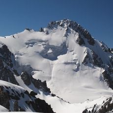
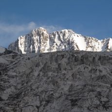
Kyrgyz Alatau, Mountain range between Kyrgyzstan and Kazakhstan in Chuy Region.
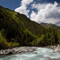
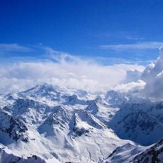
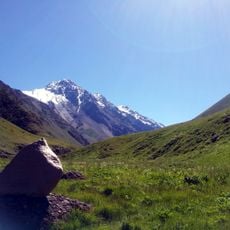
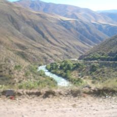
Kyrgyz Alatau is a mountain range in the inner Tien Shan, stretching 375 km east to west from the Boom Gorge to Taraz. Its highest point is Western Alamedin Peak at 4,875 m. The northern slope is longer and gentler than the southern one, which follows the Chu River. The range is built of sedimentary and metamorphic rocks, porphyrites and granites, with glaciers covering 223 km² above 3,700 m.
Russian explorers mapped the range in the mid-19th century and named it Alexander Range after Emperor Alexander II. In 1933, a decree of the All-Russian Central Executive Committee renamed it Kyrgyz Range. Its passes, including Too-Ashuu at 3,180 m, later carried the Bishkek–Osh road linking north and south Kyrgyzstan.
Local communities on both sides have woven stories and legends about this range into their daily lives and oral traditions. The mountain passes have long served as meeting points where Kyrgyz and Kazakh peoples have exchanged knowledge and customs.
The Bishkek–Osh road crosses the range at Too-Ashuu pass, 3,180 m, through a tunnel. The Ala-Archa gorge, south of Bishkek, is the usual access for hikes toward the Ak-Sai and Adygene valleys. Snow lies above 3,700 m; the snow line sits at 3,750–4,100 m.
The range contains several distinctive named peaks, including one dedicated to Vladimir Putin that rises to around 4,400 meters. Across its roughly 40-kilometer width from north to south, the range packs remarkable elevation changes and diverse ecosystems into a relatively narrow corridor.
The community of curious travelers
AroundUs brings together thousands of curated places, local tips, and hidden gems, enriched daily by 93,442 contributors worldwide.