Kaev Seima District, district of Cambodia
Location: Mondulkiri Province
GPS coordinates: 12.36280,106.81870
Latest update: March 7, 2025 04:14
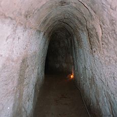
Củ Chi tunnels
148.1 km
Black Virgin Mountain
130 km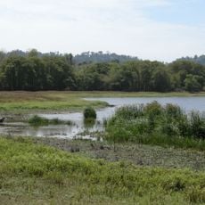
Cát Tiên National Park
118.7 km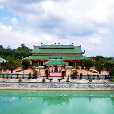
Văn Miếu Trấn Biên
155.6 km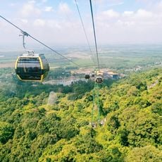
Sun World BaDen Mountain
131.2 km
Trị An Lake
141.3 km
Dau Tieng Reservoir
119.7 km
Yok Don National Park
104.8 km
Phu Cuong Bridge
155 km
Hoi Khanh Temple
154.8 km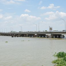
Hóa An Bridge
157.6 km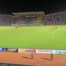
Go Dau Stadium
155.9 km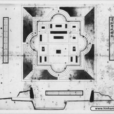
Bien Hoa Citadel
157.2 km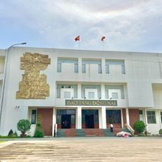
Dong Nai Museum
156.3 km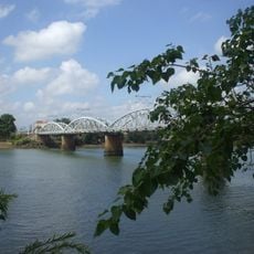
Ghenh Bridge
159.5 km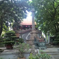
King Le Thai To Monument
62.5 km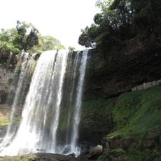
Đambri falls
128.6 km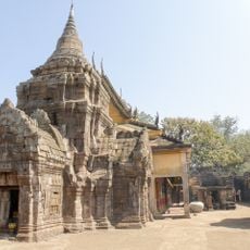
Banteay Prey Nokor
155.5 km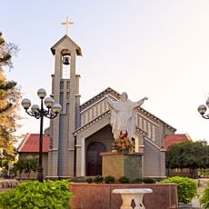
Sacred Heart Cathedral, Buôn Ma Thuột
137.9 km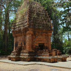
ヤンプロン塔
144.8 km
Thu Bien Bridge
148.6 km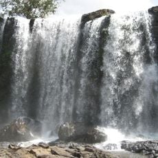
Bou Sra Waterfall
69.1 km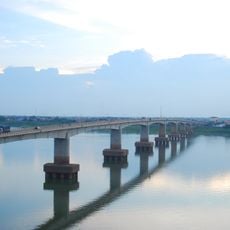
Kizuna bridge
152.6 km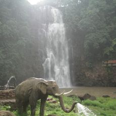
Bobla Waterfall
157.4 km
Phnom Prich Wildlife Sanctuary
39.2 km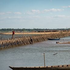
Kampong Cham Bamboo Bridge
153.8 km
Tan Hiep Prision
155.8 km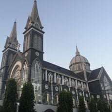
Sacred Heart Cathedral, Thu Dau Mot
154.8 kmReviews
Visited this place? Tap the stars to rate it and share your experience / photos with the community! Try now! You can cancel it anytime.
Discover hidden gems everywhere you go!
From secret cafés to breathtaking viewpoints, skip the crowded tourist spots and find places that match your style. Our app makes it easy with voice search, smart filtering, route optimization, and insider tips from travelers worldwide. Download now for the complete mobile experience.

A unique approach to discovering new places❞
— Le Figaro
All the places worth exploring❞
— France Info
A tailor-made excursion in just a few clicks❞
— 20 Minutes