Enable Location

We need your location to show you interesting places around you

Discover nearby places

Find interesting locations and hidden gems around you

Precise directions

Get accurate directions and distances to places

Your location is never shared with other users. It's only used when you tap the location button.

Aflaj Irrigation System of Oman

Log in to your account

Start exploring — it's free

Trusted by 61,991 travelers worldwide

Continue with Google
Continue with Apple
or

We will send you a code to connect

By continuing, you accept our Terms and Conditions and our Privacy Policy

Check your inbox

We've sent a pincode in your inbox. Please enter the code below.

Aflaj Irrigation System of Oman

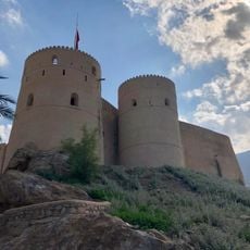
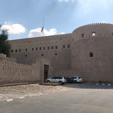
Aflaj Irrigation System of Oman, Ancient irrigation network in Dakhiliyah, Sharqiyah and Batinah, Oman

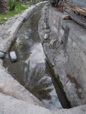
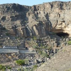
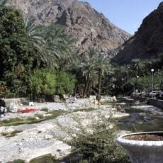
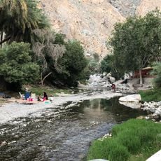
The Aflaj irrigation system is a network of water channels, underground tunnels, and distribution points that transport water from aquifers to agricultural land across large distances. The five main systems use different methods: Dawoodi channels with long underground passages, Ghaili channels fed by surface water, and Ainy channels drawing from natural springs.

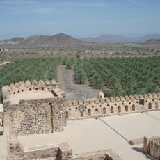
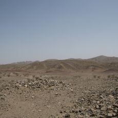
The system was constructed around 500 AD and demonstrates advanced engineering techniques for water collection and distribution through gravity-fed channels. These methods made it possible to develop agriculture in dry regions and allowed communities to thrive in harsh environments.

Water distribution is governed by traditional time units called athar and badda, monitored by designated officials to ensure fair sharing among residents. These rules still shape daily life in villages today and reflect how communities here manage water as a shared resource.

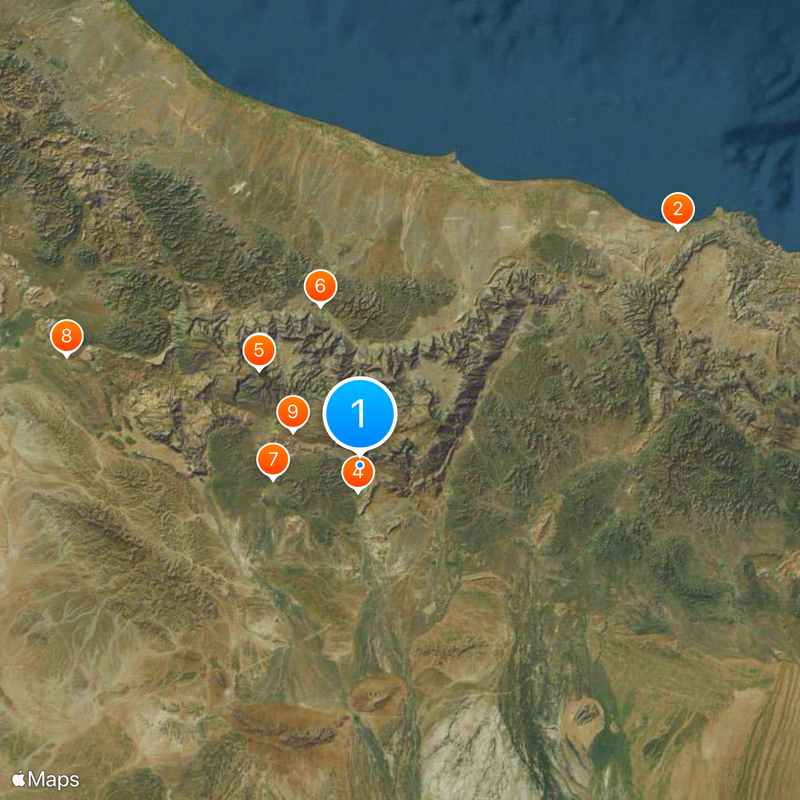
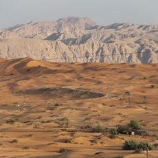
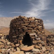
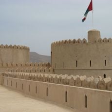
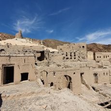
When exploring, visitors can observe different channel types across varying elevations and terrain, as the network spreads over mountainous and desert landscape. It is best to walk with a local guide to understand the hidden underground sections and see the system's impact on nearby villages and fields.

The system includes around 3,000 functional channels, many of which remain actively used today to water farms and homes. This continuous use over thousands of years makes it one of the oldest still-operating irrigation systems in the world.

The community of curious travelers

AroundUs brings together thousands of curated places, local tips, and hidden gems, enriched daily by 60,000 contributors worldwide.

Start exploring
GPS coordinates
22.99889,57.53606
Latest update
December 19, 2025 22:04
« Aflaj Irrigation System of Oman - Ancient irrigation network in Dakhiliyah, Sharqiyah and Batinah, Oman » is provided by Around Us (aroundus.com). Images and texts are derived from Wikimedia project under a Creative Commons license. You are allowed to copy, distribute, and modify copies of this page, under the conditions set by the license, as long as this note is clearly visible.

Discover hidden gems everywhere you go!

From secret cafés to breathtaking viewpoints, skip the crowded tourist spots and find places that match your style. Our app makes it easy with voice search, smart filtering, route optimization, and insider tips from travelers worldwide. Download now for the complete mobile experience.

Around Us App Screenshot

A unique approach to discovering new places

Le Figaro

All the places worth exploring

France Info

A tailor-made excursion in just a few clicks

20 Minutes

Around Us
Travel Guide & Maps
Download

Send to your phone

QR Code
1

Open the camera app on your mobile.

2

Point at the QR code with your camera. A notification will appear.

3

Tap the notification to open the link.