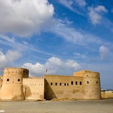
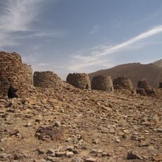
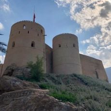
Al Hajar Mountains, Mountain range in northern Oman.
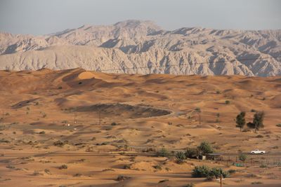
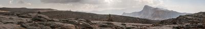
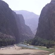
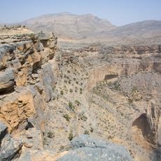
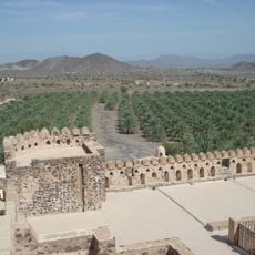
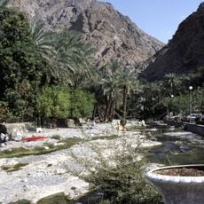
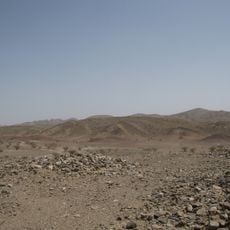
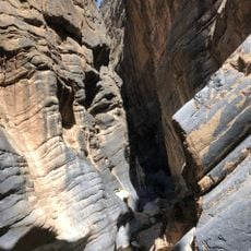
The Al Hajar Mountains extend about 700 kilometers through Oman and the UAE, with the highest peak at Jebel Shams reaching 3,009 meters. The range displays steep canyons, green valleys, and bare rock formations that shift in color from brown to gray.
This mountain range formed during the late Cretaceous period when the African-Arabian Plate moved beneath the ocean floor. The shape and structure we see today result from millions of years of geological forces at work.
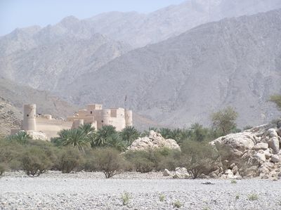
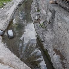
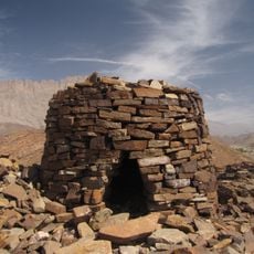
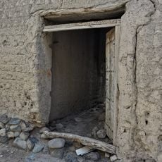
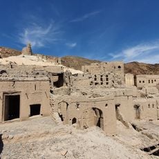
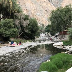
Local communities here practice traditional farming with the falaj irrigation system, growing pomegranates, dates, and limes on the slopes. These methods shape how the landscape looks and show how people have worked with the terrain for many generations.
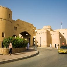
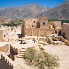
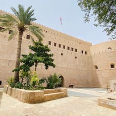
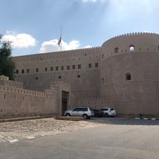
The range offers hiking trails of varying difficulty that you can reach from the main city of Nizwa. The best time to visit is from October to April, when temperatures are comfortable and walking is easier.
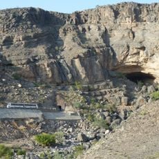
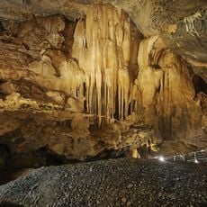
The Al Hoota Cave system hides a network of underground passages and natural pools beneath the mountains. These caves offer a completely different view of the mountain landscape, revealing a hidden world underground.
The community of curious travelers
AroundUs brings together thousands of curated places, local tips, and hidden gems, enriched daily by 60,000 contributors worldwide.