Enable Location

We need your location to show you interesting places around you

Discover nearby places

Find interesting locations and hidden gems around you

Precise directions

Get accurate directions and distances to places

Your location is never shared with other users. It's only used when you tap the location button.

Al Batinah Region

Log in to your account

Start exploring — it's free

Trusted by 61,990 travelers worldwide

Continue with Google
Continue with Apple
or

We will send you a code to connect

By continuing, you accept our Terms and Conditions and our Privacy Policy

Check your inbox

We've sent a pincode in your inbox. Please enter the code below.

Al Batinah Region

Al Batinah Region, Coastal region in northern Oman

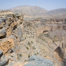
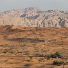
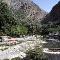
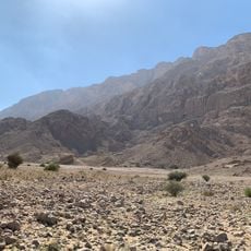
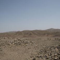
Al Batinah is a broad flat plain stretching between the Hajar Mountains and the Gulf of Oman, acting as a buffer zone where the mountains meet the coast. The land is crossed by villages and cultivated fields planted with fruit trees, vegetables, and date palms in neat rows.

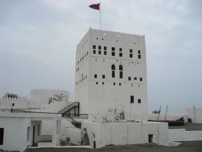
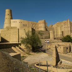
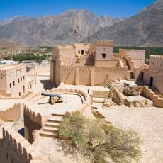
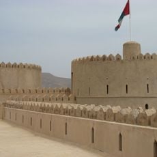
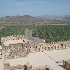
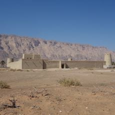
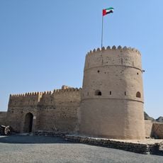
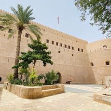
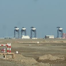
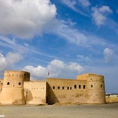
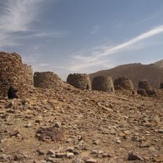
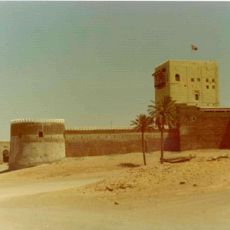
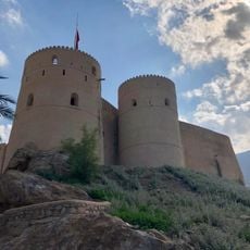
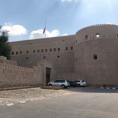
The region was shaped by the construction of fortified structures in towns like Nakhl, Barka, and Sohar to protect its valuable farmlands. These fortifications show how important the area was in earlier times for both trade and defense.

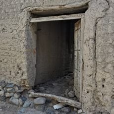
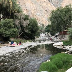
The region has long served as an agricultural heartland where farming communities developed strong ties to the land and water sources flowing from the mountains. These ties shape how villages are organized and how people spend their daily lives along the coastal plain.

The best time to visit is between October and March when the weather is cooler and farming activities are in full swing. Wear comfortable shoes since village paths and field roads are often unpaved and shade is scarce throughout the plain.

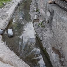
The region is crisscrossed by a traditional irrigation system called the falaj, which channels water directly from the mountains into fields and has worked for centuries. This system is so efficient that it still supplies water to most farms today without needing electric pumps.

The community of curious travelers

AroundUs brings together thousands of curated places, local tips, and hidden gems, enriched daily by 60,000 contributors worldwide.

Start exploring
Location
Capital city
Sohar
Shares border with
Emirate of Fujairah
GPS coordinates
24.00000,57.00000
Latest update
December 7, 2025 19:25
« Al Batinah Region - Coastal region in northern Oman » is provided by Around Us (aroundus.com). Images and texts are derived from Wikimedia project under a Creative Commons license. You are allowed to copy, distribute, and modify copies of this page, under the conditions set by the license, as long as this note is clearly visible.

Discover hidden gems everywhere you go!

From secret cafés to breathtaking viewpoints, skip the crowded tourist spots and find places that match your style. Our app makes it easy with voice search, smart filtering, route optimization, and insider tips from travelers worldwide. Download now for the complete mobile experience.

Around Us App Screenshot

A unique approach to discovering new places

Le Figaro

All the places worth exploring

France Info

A tailor-made excursion in just a few clicks

20 Minutes

Around Us
Travel Guide & Maps
Download

Send to your phone

QR Code
1

Open the camera app on your mobile.

2

Point at the QR code with your camera. A notification will appear.

3

Tap the notification to open the link.