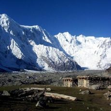
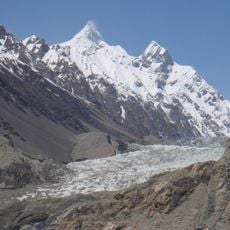
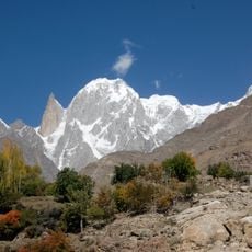
Attabad Lake, Mountain lake in Gojal Valley, Pakistan
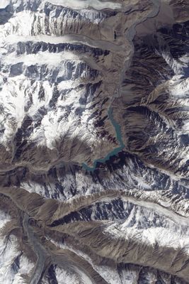
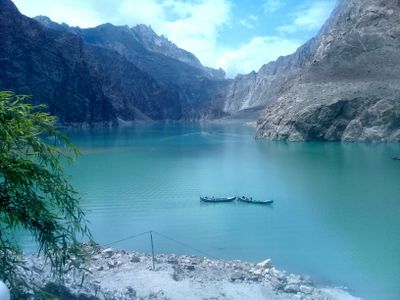
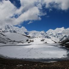
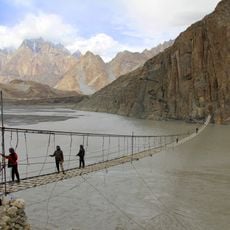
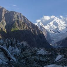
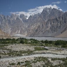
Attabad Lake is a landslide-dammed body of water in the Gojal Valley of Gilgit-Baltistan that stretches 21 kilometers through the mountain landscape. The water shimmers turquoise between steep rock walls, while partly flooded trees and old road remnants remain visible below the surface.
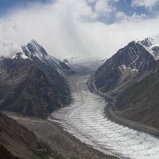
In January 2010 a large section of a mountainside broke away and blocked the Hunza River for five months, killing people and forcing thousands from their homes. The dammed river slowly formed the body of water that submerged several villages and made the old Karakoram road impassable.
The name Attabad comes from a village that disappeared beneath the rising water when the river was blocked and residents had to leave their homes. Today fishermen take boats across the water and offer tours to visitors, while new settlements have grown along the shores.
The visit is possible year-round, with summer offering the most comfortable temperatures and the water appearing in its brightest colors then. Boat tours start from the shore where local operators wait, and the ride across the water takes between half an hour and an hour depending on the route.
In winter the surface sometimes freezes completely and turns into a thick layer of ice where some visitors try to walk. Beneath the water lie parts of houses, bridges and fields from the time before the landslide.
The community of curious travelers
AroundUs brings together thousands of curated places, local tips, and hidden gems, enriched daily by 60,000 contributors worldwide.