Gujar Khan Tehsil, Administrative division in Rawalpindi District, Pakistan.
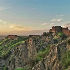
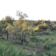
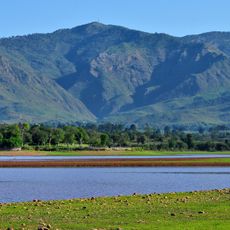
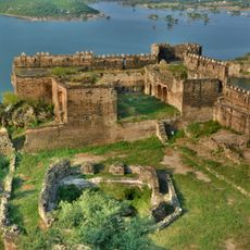
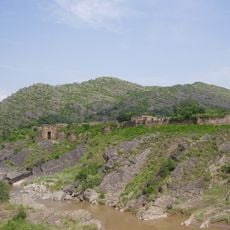
Gujar Khan Tehsil is an administrative region in Rawalpindi District comprising flat plains and sandstone hills along the Jhelum River. The area contains 36 Union Councils with the main administrative office located in Gujar Khan city.
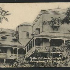
The region was documented in early 20th-century British records as an established administrative area with a significant population. After independence in 1947, major demographic shifts occurred as people moved between India and Pakistan, reshaping the area's composition.
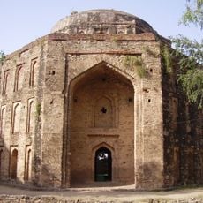
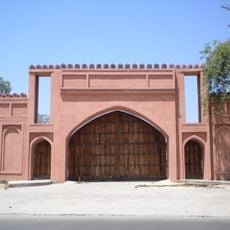
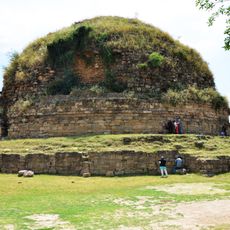
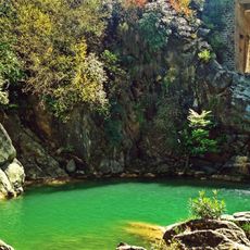
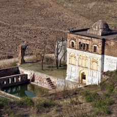
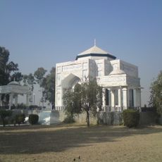
The region reflects the traditions of communities adapted to life near Kashmir's border, with local customs visible in architecture, farming practices, and traditional crafts. The area maintains distinct cultural expressions shaped by its position as a transition zone between different parts of the province.
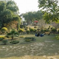
The region is divided into multiple administrative sections that are easier to explore using local maps and main roads as reference points. Gujar Khan city serves as the central hub and is best visited during standard business hours for official transactions.
The region produced several recipients of Pakistan's highest military decoration, reflecting its significance in the nation's defense heritage. Underground oil and natural gas reserves beneath the area contribute to the country's energy resources.
The community of curious travelers
AroundUs brings together thousands of curated places, local tips, and hidden gems, enriched daily by 60,000 contributors worldwide.