Enable Location

We need your location to show you interesting places around you

Discover nearby places

Find interesting locations and hidden gems around you

Precise directions

Get accurate directions and distances to places

Your location is never shared with other users. It's only used when you tap the location button.

Haripur District

Log in to your account

Start exploring — it's free

Trusted by 62,783 travelers worldwide

Continue with Google
Continue with Apple
or

We will send you a code to connect

By continuing, you accept our Terms and Conditions and our Privacy Policy

Check your inbox

We've sent a pincode in your inbox. Please enter the code below.

Haripur District

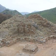
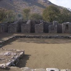
Haripur District, Administrative district in Hazara Division, Pakistan.

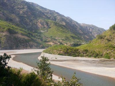
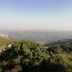
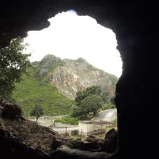
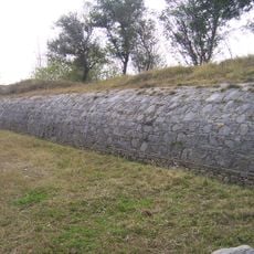
Haripur District sits between Abbottabad and Mansehra Districts, featuring varied terrain with valleys and elevation changes across the landscape. The land transitions from flatter areas to hillier regions, creating different environments within the district.

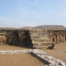
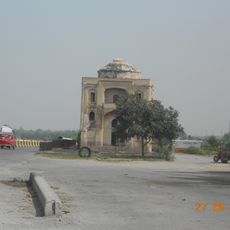
The district was founded during the British colonial period and named after a notable figure from that era. It later received its current administrative structure, which reshaped its role within the region.

The local population communicates primarily through Hindko, a language deeply rooted in daily conversations and community life here. This linguistic identity shapes how people interact and gives the area its distinct regional character.

The district headquarters provides good road connections to nearby major cities. Visitors can find accommodations, local markets, and basic services that make it convenient to explore and stay in the area.

The area contains numerous manufacturing facilities producing textiles, medicines, and other industrial products that provide significant employment. These production operations have become an important economic center for the region.

The community of curious travelers

AroundUs brings together thousands of curated places, local tips, and hidden gems, enriched daily by 60,000 contributors worldwide.

Start exploring
Location
Capital city
Haripur
Shares border with
Buner District
GPS coordinates
33.94590,72.91146
Latest update
December 20, 2025 15:31
« Haripur District - Administrative district in Hazara Division, Pakistan » is provided by Around Us (aroundus.com). Images and texts are derived from Wikimedia project under a Creative Commons license. You are allowed to copy, distribute, and modify copies of this page, under the conditions set by the license, as long as this note is clearly visible.

Discover hidden gems everywhere you go!

From secret cafés to breathtaking viewpoints, skip the crowded tourist spots and find places that match your style. Our app makes it easy with voice search, smart filtering, route optimization, and insider tips from travelers worldwide. Download now for the complete mobile experience.

Around Us App Screenshot

A unique approach to discovering new places

Le Figaro

All the places worth exploring

France Info

A tailor-made excursion in just a few clicks

20 Minutes

Around Us
Travel Guide & Maps
Download

Send to your phone

QR Code
1

Open the camera app on your mobile.

2

Point at the QR code with your camera. A notification will appear.

3

Tap the notification to open the link.