
Subcarpathian Voivodeship
Subcarpathian Voivodeship, Administrative region in southeastern Poland
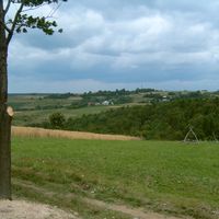
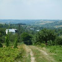
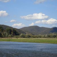
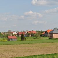
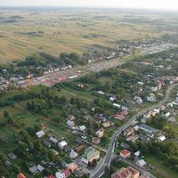
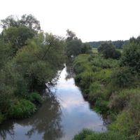
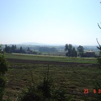
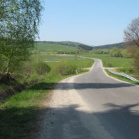
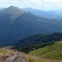
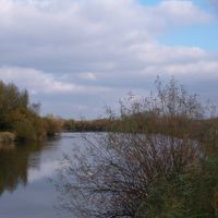
The Subcarpathian Voivodeship spans 17,844 square kilometers near the Carpathian Mountains, featuring dense forests that cover more than one-third of its territory.
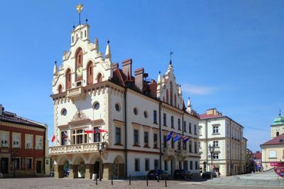
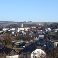
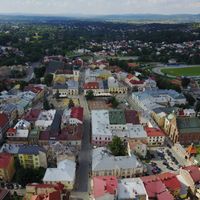
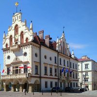
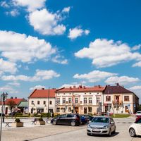
Following the 1999 Polish administrative reforms, this province emerged from the consolidation of smaller regions, establishing Rzeszów as its capital and administrative center.
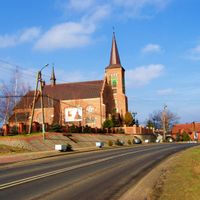
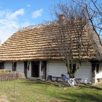
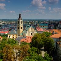
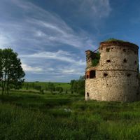
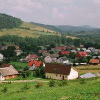
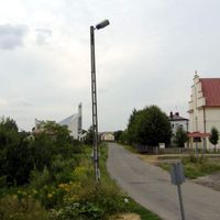
The province contains numerous wooden churches, medieval castles, and traditional settlements that reflect the influences of Polish, Ukrainian, and Lemko communities.
The regional transportation network includes the international Rzeszów-Jasionka Airport, connecting the area with major European destinations through regular flights.
The region maintains three UNESCO World Heritage Sites, including portions of the Bieszczady National Park with its populations of European bison and brown bears.
Location: Poland
Inception: 1999
Capital city: Rzeszów
Shares border with: Lublin Voivodeship, Świętokrzyskie Voivodeship, Lesser Poland Voivodeship, Prešov Region, Lviv Oblast
Website: http://podkarpackie.pl
GPS coordinates: 49.95000,22.16667
Latest update: May 27, 2025 20:23
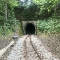
Szklary Tunnel
9.4 km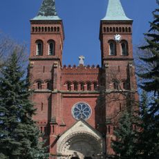
Kościół św. Marcina w Błażowej
8.6 km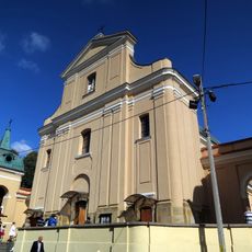
Church of the Assumption and Saint Catherine in Tyczyn
9.6 km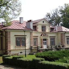
Manor in Hadle Szklarskie
9.4 km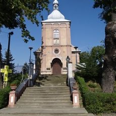
Saint Andrew church in Jawornik Polski
10.7 km
Kościół Matki Bożej Różańcowej w Harcie
9.1 km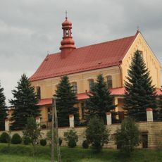
Church of Saint Bartholomew in Chmielnik
5.1 km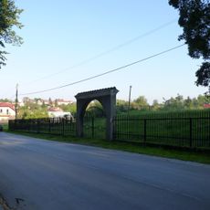
Stary cmentarz żydowski w Tyczynie
10.2 km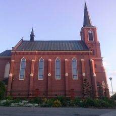
Kościół św. Wawrzyńca w Malawie
9.7 km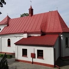
Church of the Immaculate Heart of Mary in Hadle Szklarskie
10.4 km
Budynek Towarzystwa Gimnastycznego „Sokół” w Tyczynie
9.6 km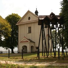
Church of Mary Magdalene in Malawa
7.4 km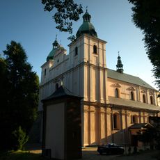
Church of the Assumption in Borek Stary
6.1 km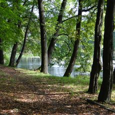
Park
9.4 km
Most VI
10.3 km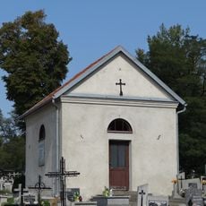
Kaplica grobowa rodziny Gurskich (na cmentarzu grzebalnym) w Jaworniku Polskim
10.6 km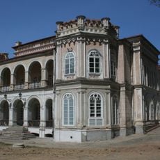
Oficyna
10.3 km
Kaplica przy domu nr 283
7.2 km
Pawilon gościnny z łącznikiem
10.3 km
Dwór w Hadlach Szklarskich
9.4 km
Park
10.2 km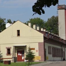
Stajnia
9.3 km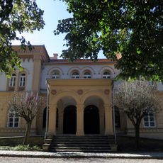
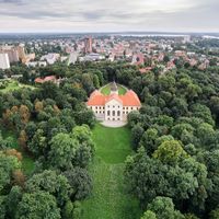
Pałac
10.3 km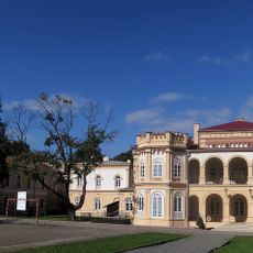
Zespół pałacowy w Tyczyniu
10.2 km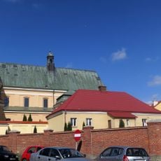
Zespół kościoła Wniebowzięcia NMP i św. Katarzyny w Tyczyniu
9.6 km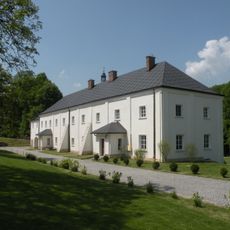
Klasztor w Borku Starym
6.1 km
Oranżeria
9.4 km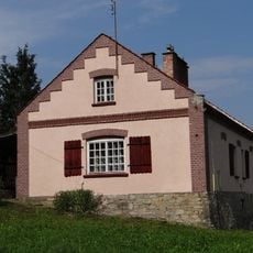
Kuźnia
9.4 kmReviews
Visited this place? Tap the stars to rate it and share your experience / photos with the community! Try now! You can cancel it anytime.
Przeworsk County
Ropczyce-Sędziszów County
Rzeszów County
Sanok County
Łańcut County
Mielec County
Nisko County
Przemyśl County
Stalowa Wola County
Strzyżów County
Krosno
Rzeszów
Przemyśl
Tarnobrzeg
Krosno County
Kolbuszowa County
Jasło County
Jarosław County
Dębica County
Brzozów County
Bieszczady County
Lesko County
Tarnobrzeg County
Lubaczów County
Leżajsk County
Discover hidden gems everywhere you go!
From secret cafés to breathtaking viewpoints, skip the crowded tourist spots and find places that match your style. Our app makes it easy with voice search, smart filtering, route optimization, and insider tips from travelers worldwide. Download now for the complete mobile experience.

A unique approach to discovering new places❞
— Le Figaro
All the places worth exploring❞
— France Info
A tailor-made excursion in just a few clicks❞
— 20 Minutes