Enable Location

We need your location to show you interesting places around you

Discover nearby places

Find interesting locations and hidden gems around you

Precise directions

Get accurate directions and distances to places

Your location is never shared with other users. It's only used when you tap the location button.

Amur Oblast

Log in to your account

Join the adventure

Create your free account and start exploring (like 60k+ others)

We will send you a code to connect

or
Continue with Google
Continue with Apple
By continuing, you accept our Terms and Conditions and our Privacy Policy

Check your inbox

We've sent a pincode in your inbox. Please enter the code below.

Amur Oblast, Administrative region in Far Eastern Russia

Description

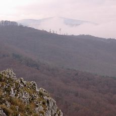
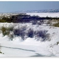
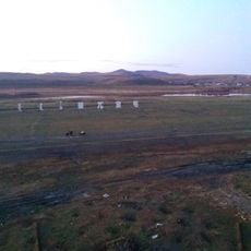
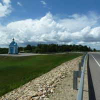
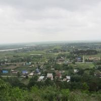
This administrative region lies in the Far East of Russia, stretching along a major river and covering wide forest areas, mountain ranges and flat farmland. The landscape shifts between dense coniferous woods in the north and open plains in the south, where wheat and soybeans grow.

History

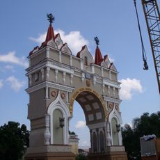
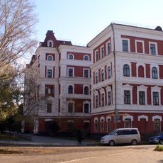
The territory became part of the Russian Empire in the mid-19th century, when a treaty with China fixed the border along the river. After that, settlers from European Russia arrived, founded towns and began cultivating crops.

Culture

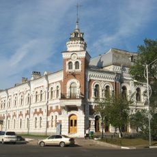
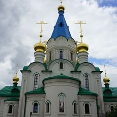
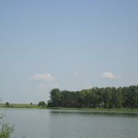
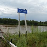
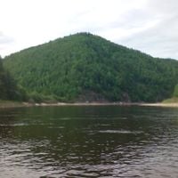
The region takes its name from the border river that serves as both lifeline and natural frontier here. Along its banks, village communities have grown over generations, where Russian, Tungusic and Chinese traditions become visible in daily routines.

Practical

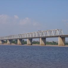
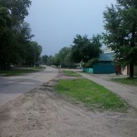
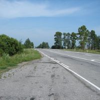
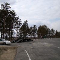
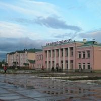
The Trans-Siberian railway line crosses the territory from west to east, linking smaller towns with the capital Blagoveshchensk. Travelers should expect long journey times, as distances between settlements often amount to several hours.

Did you know?

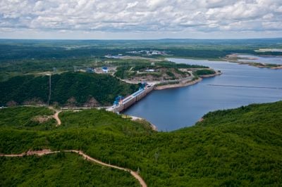
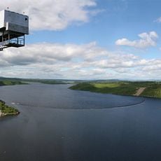
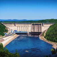
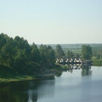
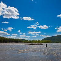
The Bureya Dam harnesses the strong current in the mountains to generate electricity for the region. Its reservoir changed the riverbed and created a long lake between steep slopes.

Location
Inception
October 20, 1932
Capital city
Blagoveshchensk
Elevation above the sea
578 m
Reference
RU-AMU
Part of
Far Eastern Federal District
Shares border with
Zabaykalsky Krai, Sakha, Khabarovsk Krai, Jewish Autonomous Oblast, Heilongjiang
GPS coordinates
53.55000,127.83333
Latest update
December 14, 2025 23:23

AroundUs brings together thousands of curated places, local tips, and hidden gems, enriched daily by 60,000 contributors worldwide. Discover all places nearby (Russia).

« Amur Oblast - Administrative region in Far Eastern Russia » is provided by Around Us (aroundus.com). Images and texts are derived from Wikimedia project under a Creative Commons license. You are allowed to copy, distribute, and modify copies of this page, under the conditions set by the license, as long as this note is clearly visible.

Discover hidden gems everywhere you go!

From secret cafés to breathtaking viewpoints, skip the crowded tourist spots and find places that match your style. Our app makes it easy with voice search, smart filtering, route optimization, and insider tips from travelers worldwide. Download now for the complete mobile experience.

Around Us App Screenshot

A unique approach to discovering new places

Le Figaro

All the places worth exploring

France Info

A tailor-made excursion in just a few clicks

20 Minutes

Around Us
Travel Guide & Maps
Download

Send to your phone

QR Code
1

Open the camera app on your mobile.

2

Point at the QR code with your camera. A notification will appear.

3

Tap the notification to open the link.