Kuban, River system in Western Caucasus, Russia.
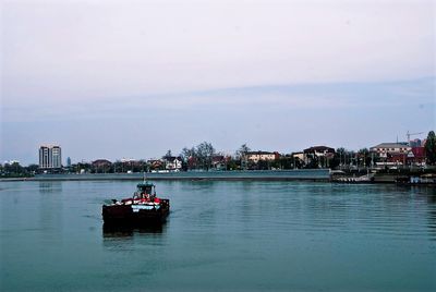
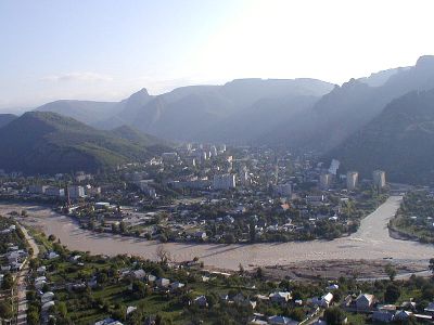
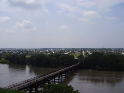
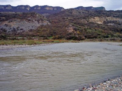
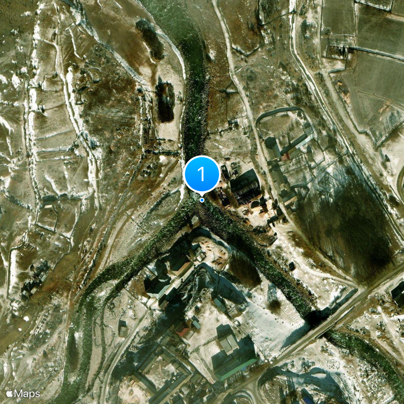
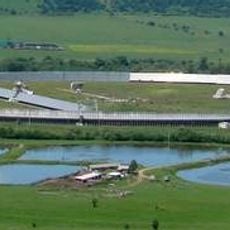
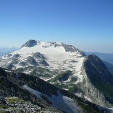
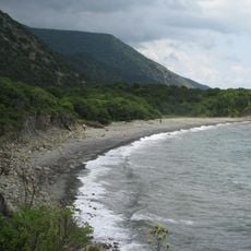
The Kuban begins at Mount Elbrus and flows for 906 kilometers (563 miles) through narrow gorges before moving north across the Stavropol Upland and entering the Sea of Azov. The river forms a wide delta and carries varying amounts of water depending on the season, with its banks lined by agricultural plains and smaller towns that span several regions in the Western Caucasus.
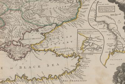
After the Crimean annexation in 1783, the river marked the Russian Empire border, prompting the construction of fortresses and the settlement of Cossack communities. These military and agricultural outposts shaped the development of surrounding territories and served as a base for further southern expansion during the 18th and 19th centuries.
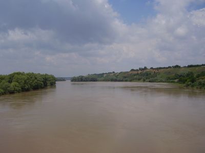
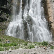
The name comes from Karachay-Balkar and means overflow or flood, referring to the changing water levels throughout the year. Fishermen and farmers have lived along the banks for generations, drawing water for rice and corn fields that still shape the daily life of communities in the region.
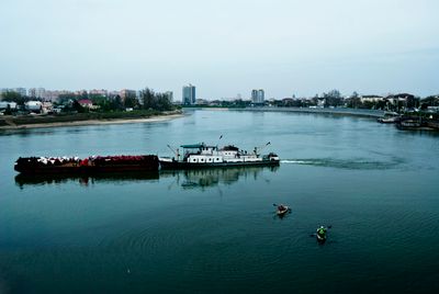
The water is navigable up to Krasnodar and supports irrigation systems across the region, with currents that vary depending on rainfall and snowmelt. Visitors can walk along the banks and occasionally spot fishermen looking for carp, roach, or pike, while access to the riverside often depends on surrounding fields or settlements.
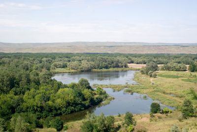
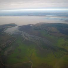
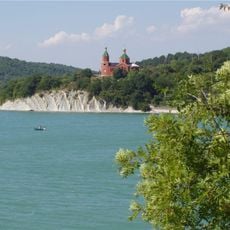
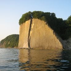
The delta formed over thousands of years through deposits of silt and eruptions from mud volcanoes, transforming what was once an ancient seabed into its current shape. This geological activity causes parts of the mouth to shift constantly, creating new islands or shallows in some areas.
The community of curious travelers
AroundUs brings together thousands of curated places, local tips, and hidden gems, enriched daily by 60,000 contributors worldwide.