Yarylhatska Bay, Coastal cove in Chornomorske Raion, Ukraine
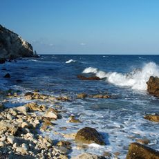
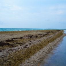
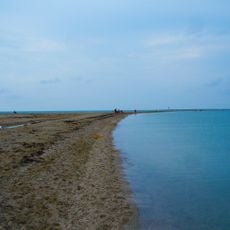
Yarylhatska Bay is a coastal cove in Chornomorske Raion that forms a natural indentation along the shoreline. It sits within the larger Karkinit Bay system and creates a sheltered water body in this part of the coast.
The bay takes its name from the village of Yarylhach on its shore, renamed Mezhvodne in 1947. Until the early 1990s ships called at the Mezhvodnenska oil depot on the eastern shore to unload petroleum products. A canal dug in 1978 links the bay's south-west corner with Lake Panske, where the Chornomorsk commercial seaport now stands.
The bay takes its name from Yarylhach, the only village on its shores, renamed Mezhvodne in 1947. Until the early 1990s vessels called at the Mezhvodnenska oil depot on the eastern shore to unload petroleum products; the bridge and platform remains stand there, almost fully dismantled.
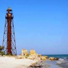
The bay is reached from the village of Mezhvodne on its shore; the eastern shore holds the Mezhvodne oil depot with a bridge and the remains of an old bridge and platform, while the southeast has a passage to the Karkavski Sivashnyky lagoons. The southwestern part connects through a canal dug in 1978 to Lake Panske, where the Chornomorsk specialized seaport lies. Navigation marks stand along a coastal strip up to 1,200 m wide.
The bay is a drowned mouth of a coastal ravine, round in shape, with steep northern and southern shores. Its eastern side is cut off from Lakes Dzharylhach and Yarylhach by a sand spit 260 to 1,400 m wide, and a canal dug in 1978 links its south-western corner with Lake Panske.
The community of curious travelers
AroundUs brings together thousands of curated places, local tips, and hidden gems, enriched daily by 93,887 contributors worldwide.