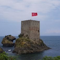
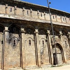
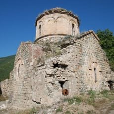
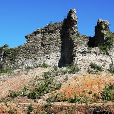
Arhavi, district and town in Artvin, Turkey
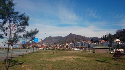
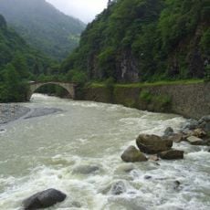
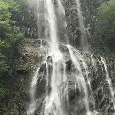
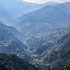
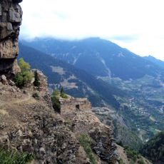
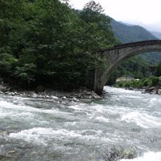
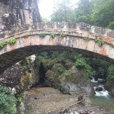
Arhavi is a town in northeastern Turkey, part of Artvin Province, sitting close to the Black Sea coast and crossed by a river. The surrounding slopes are covered in tea gardens, and the town itself is made up of modest hillside houses with tiled roofs spread along the valley.
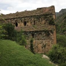
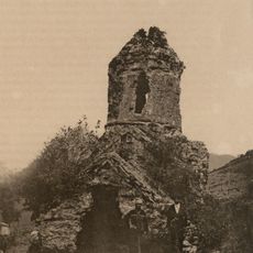
The area was brought into the Ottoman Empire in 1486 and remained under its rule for several centuries. During World War I, Russian forces held the area for a time before it returned to Turkish control after the war.
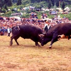
The Laz people, who have long lived along this stretch of the Black Sea coast, speak their own language and keep alive a tradition of music and dance. The Horon, a fast and energetic circle dance performed in groups, can still be seen at local celebrations throughout the year.
The area is best visited during the tea harvest season, when activity on the surrounding slopes is at its highest and the town has a lively daily rhythm. The center is easy to walk through, and sitting in one of the small local cafes is a good way to get a feel for everyday life here.
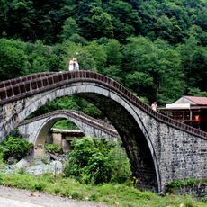
The name Arhavi comes from an old word meaning place of the river, pointing to the waterways that run through the area and shaped the first settlement here. Despite sitting close to the sea, the town's daily life and local identity have always revolved more around the river and the tea slopes than the coastline.
The community of curious travelers
AroundUs brings together thousands of curated places, local tips, and hidden gems, enriched daily by 60,000 contributors worldwide.