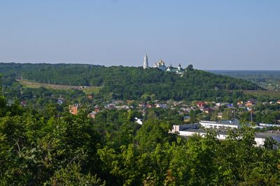
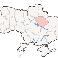
Poltava Oblast, Administrative region in northeastern Ukraine
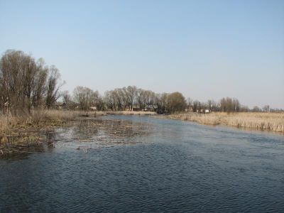
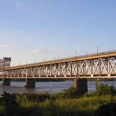
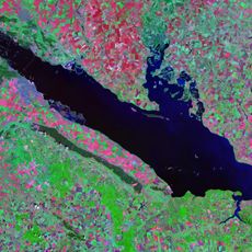
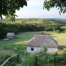
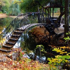
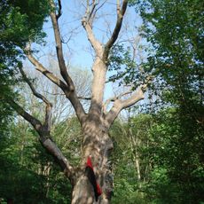
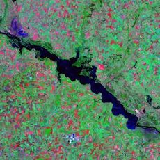
This oblast lies in the central part of Ukraine and covers plains along the Dnieper and its tributaries. The landscape consists of open fields and forests with several larger towns including Poltava and Kremenchuk.
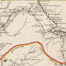
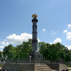
The region experienced the Battle of Poltava in 1709 when Russian forces defeated the Swedish army. This loss ended Sweden's status as a great power in Europe and shifted the balance eastward.
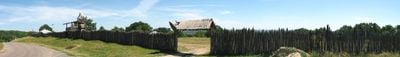
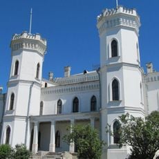
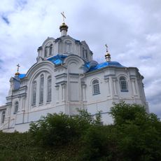
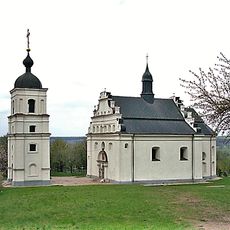
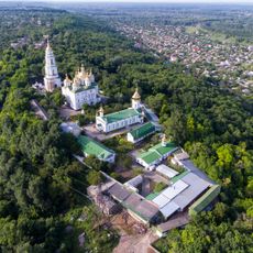
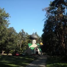
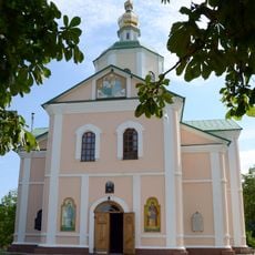
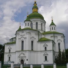
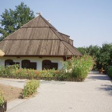
The region maintains multiple museums, including the Gogol preserve-museum, Kotliarevsky villa, and Poltava ethnical museum, which showcase local heritage and traditions.
The region is best reached by train or car using roads that connect the larger towns. Visitors should remember that distances between places can be considerable and require planning ahead.
The region produces substantial quantities of agricultural goods, with annual yields reaching 14,529 thousand tons of grain and 1,002,900 tons of sugar beets.
The community of curious travelers
AroundUs brings together thousands of curated places, local tips, and hidden gems, enriched daily by 60,000 contributors worldwide.