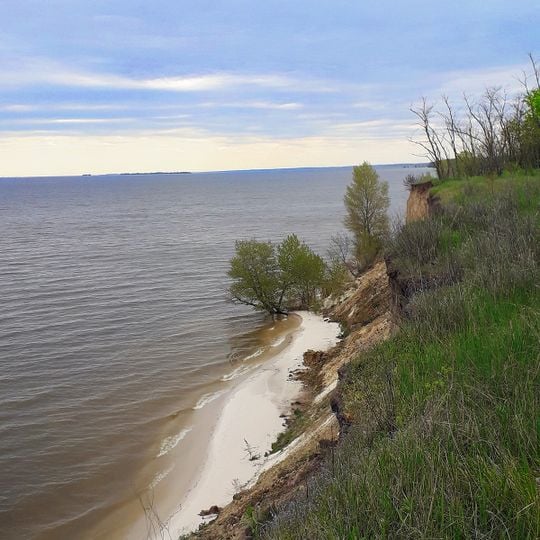
Kremenchuk Reservoir, Water reservoir on Dnieper River, Ukraine
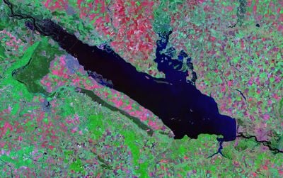
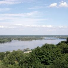
Kremenchuk Reservoir is a large body of water on the Dnieper River that spreads across Poltava, Cherkasy, and Kirovohrad Oblasts. The water covers around 2,250 square kilometers with an average depth of about 6 meters.
The idea of a Kremenchuk hydroelectric complex was first raised in 1932, revived in the 1940s and approved in late 1949. The reservoir was filled between 1959 and 1961, submerging 212 settlements, 39,600 households and 133,000 residents; the largest was the town of Novoheorhiivsk. The dam near Svitlovodsk also flooded the medieval Rus town of Voin at the old mouth of the Sula.
The reservoir's name comes from the Kremenchuk castle recorded in 1571, from Turkic kermen, 'fortress', with a diminutive suffix. Locals call the water body the Kremenchuk Sea. Its shores hold fish-farming enterprises, and the shallows along the left bank are nesting grounds for birds.
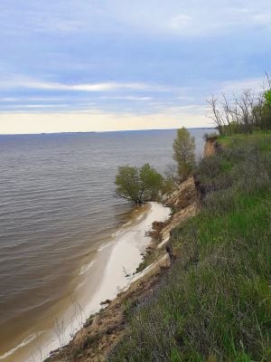
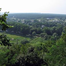
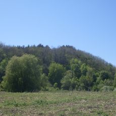
The reservoir freezes from late December to March, with ice up to 50 cm thick, sometimes 80 cm, so winter visits depend on ice conditions. Water level fluctuates by 5.25 m over the year, highest in spring. Banks are high, up to 30–40 m, and cut by ravines, with sandy strips mainly below the slopes.
The Sula River flows in to form a delta system with multiple islands that creates unusual ecological diversity. This natural structure draws birds and other wildlife, making it a special spot for observing nature.
The community of curious travelers
AroundUs brings together thousands of curated places, local tips, and hidden gems, enriched daily by 93,742 contributors worldwide.